Playing Fields
Casa de Campo, Madrid
Visitor centre and phased public landscape
MSc Architecture thesis, TU Delft
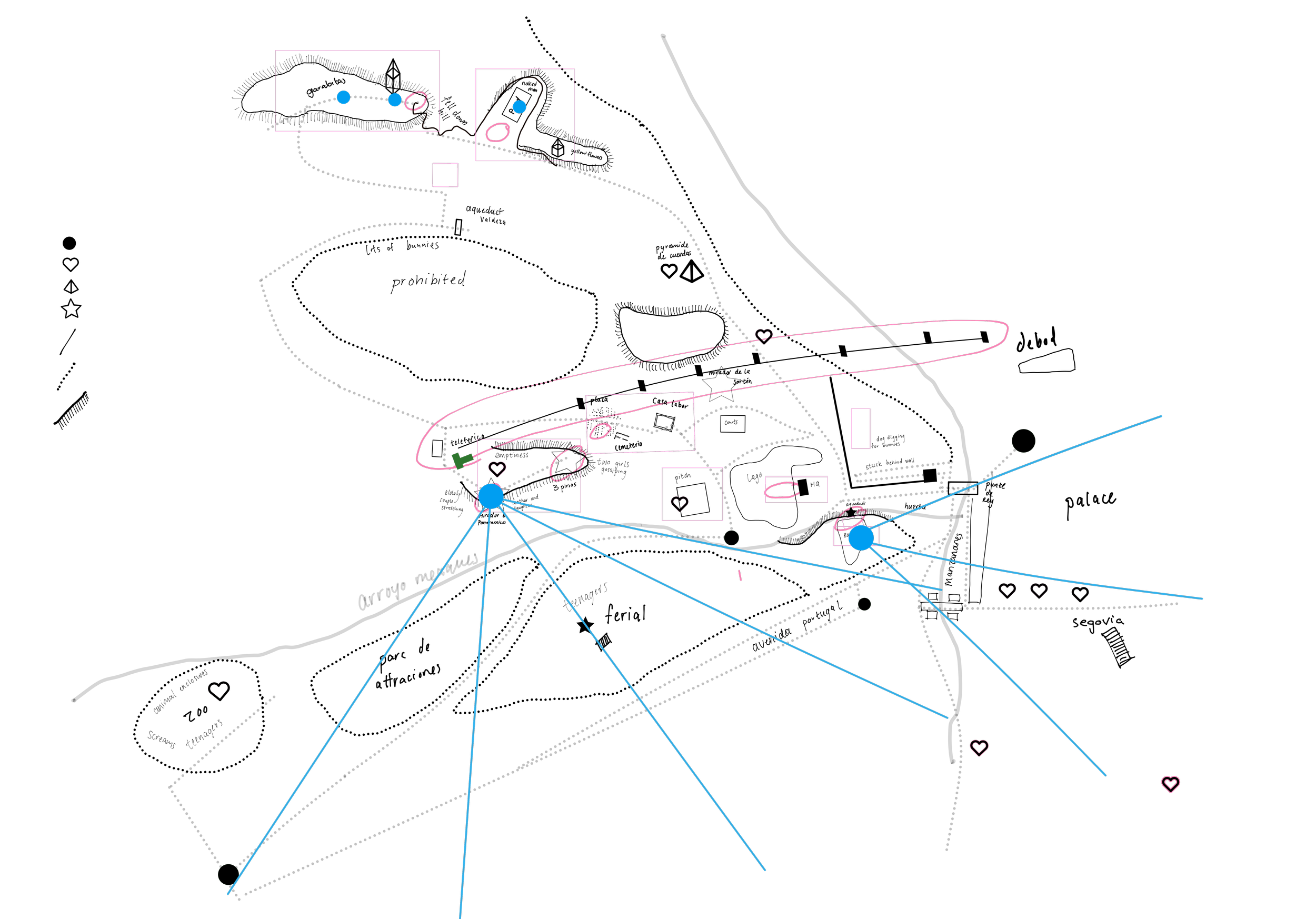
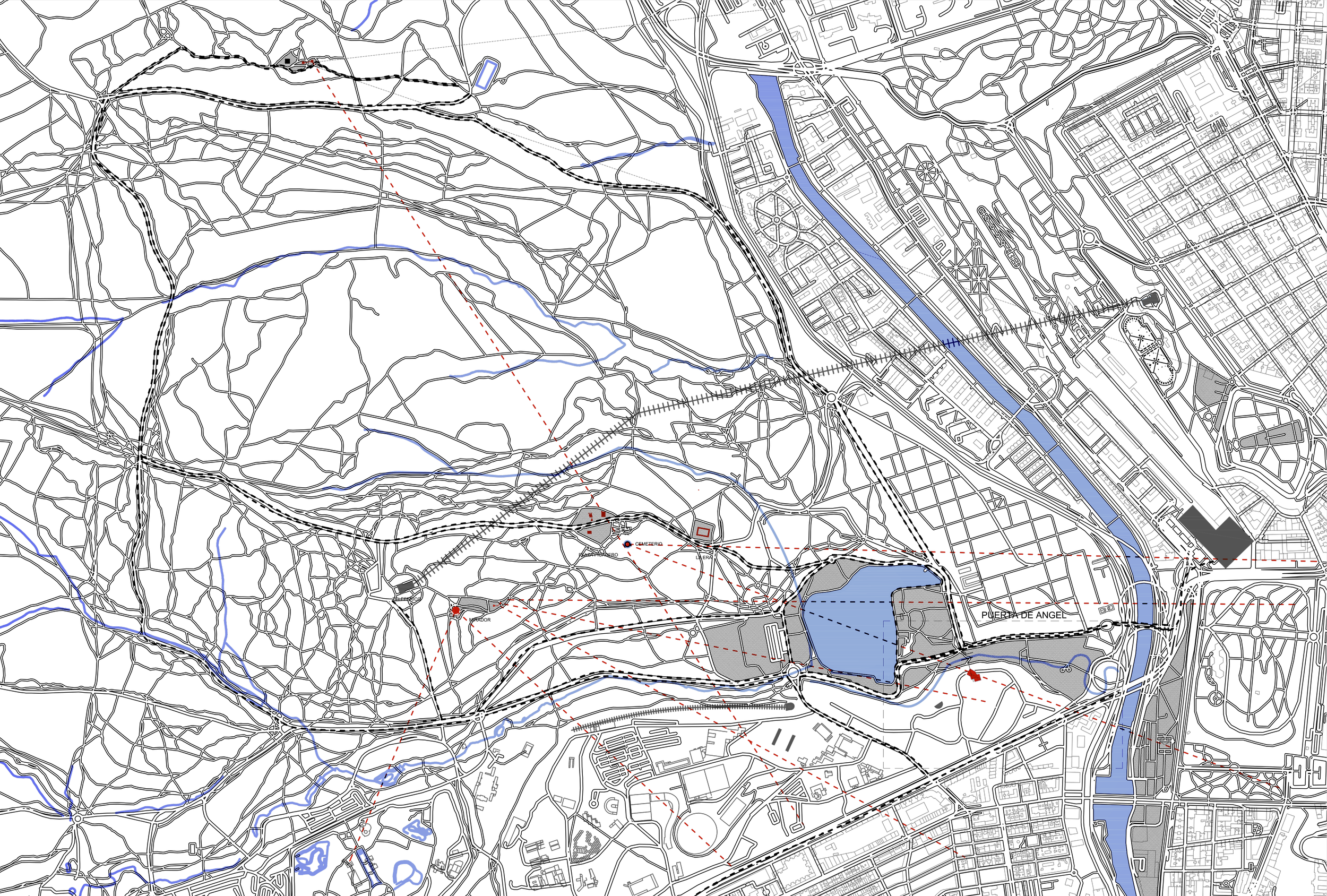
Casa de Campo contains a dispersed field of paths, watercourses, former infrastructures and isolated public facilities. Some routes stop at roads or steep changes in level. Other areas remain difficult to reach despite their proximity to the city.
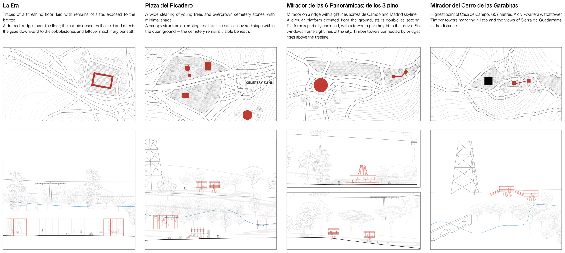
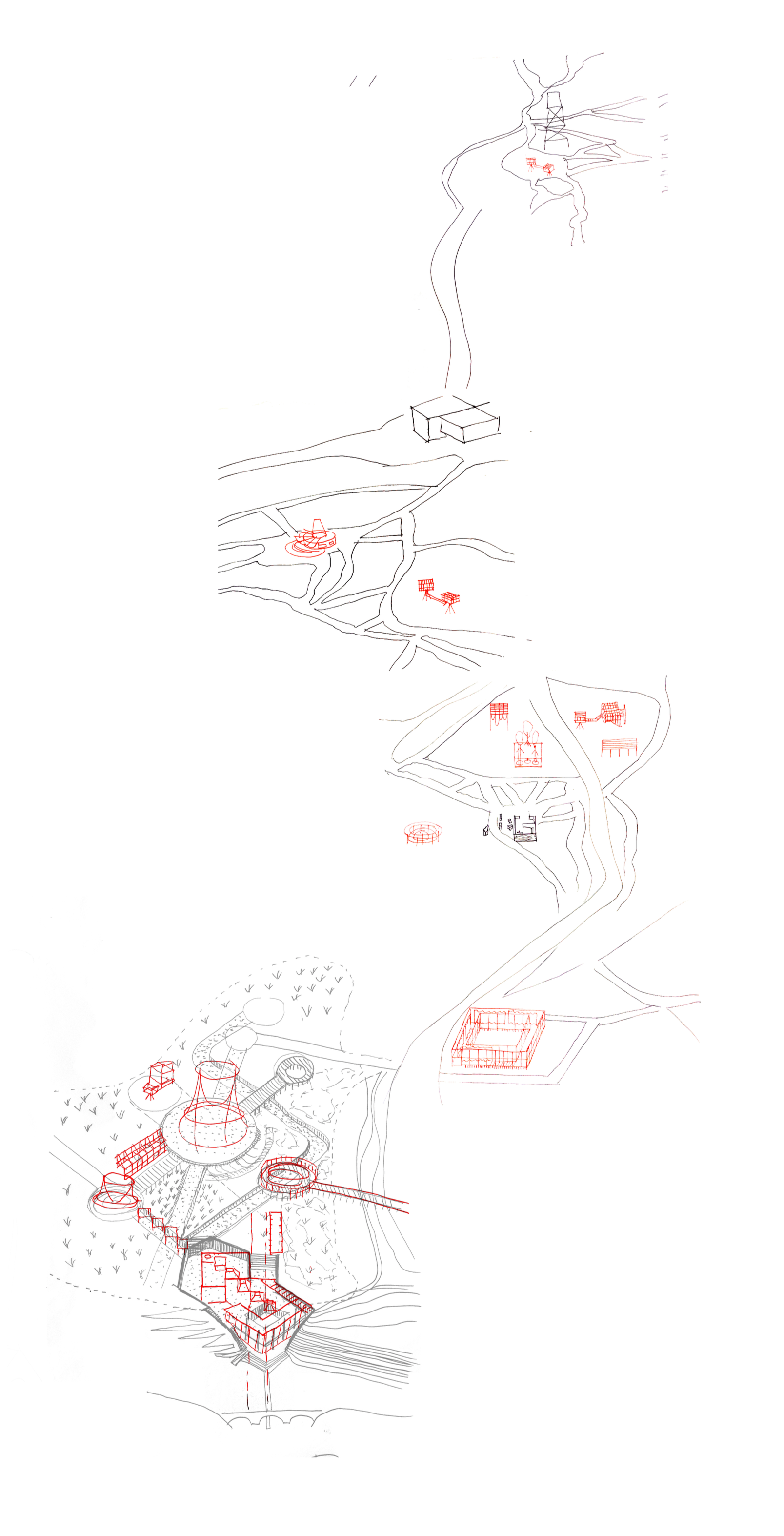
‘Playing Fields’ begins with a park-wide strategy for Casa de Campo. Small public structures are placed along existing paths, waterways, historic remains and forest clearings. They provide crossings, shaded stops, viewpoints and new entrances into the park.
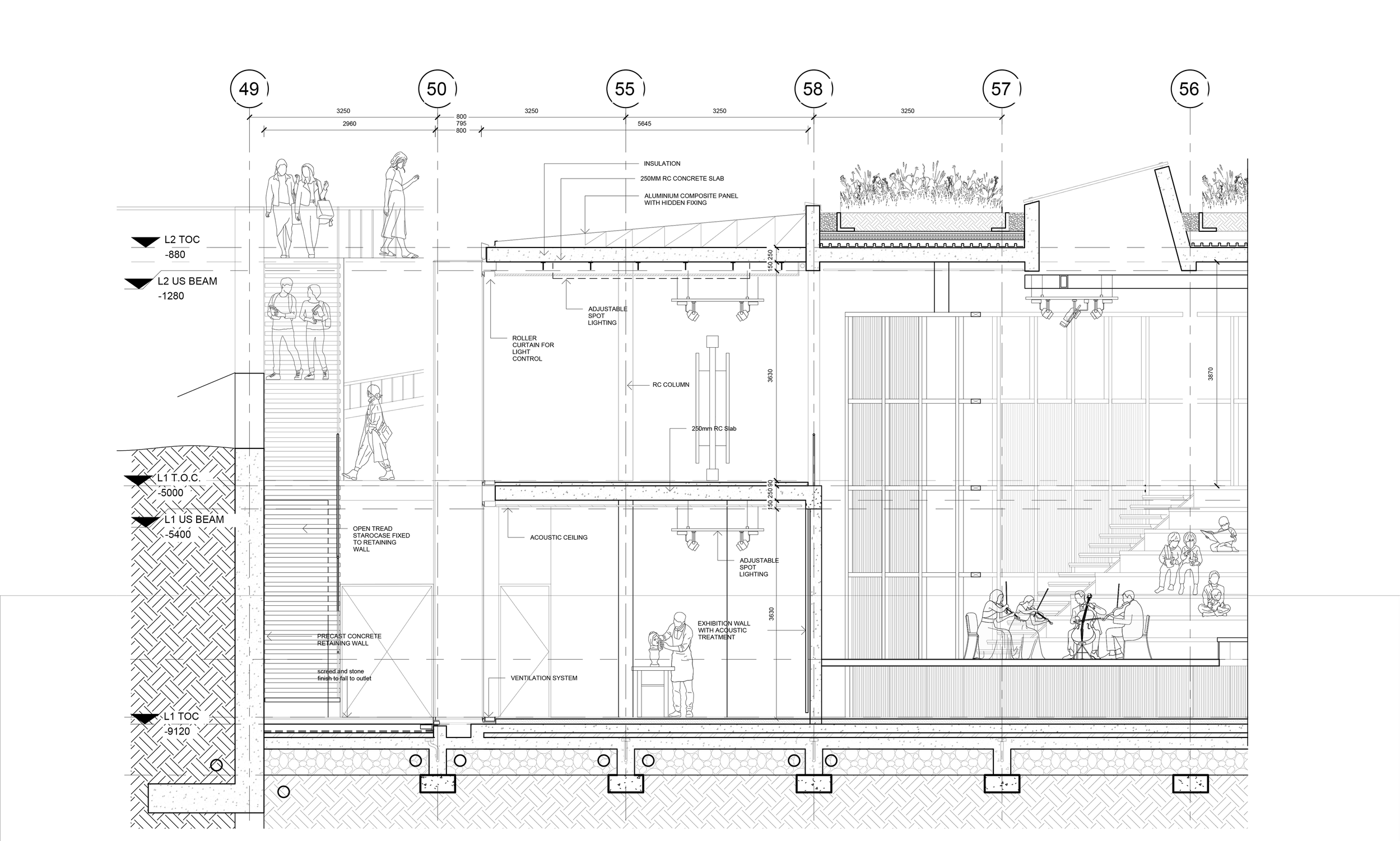
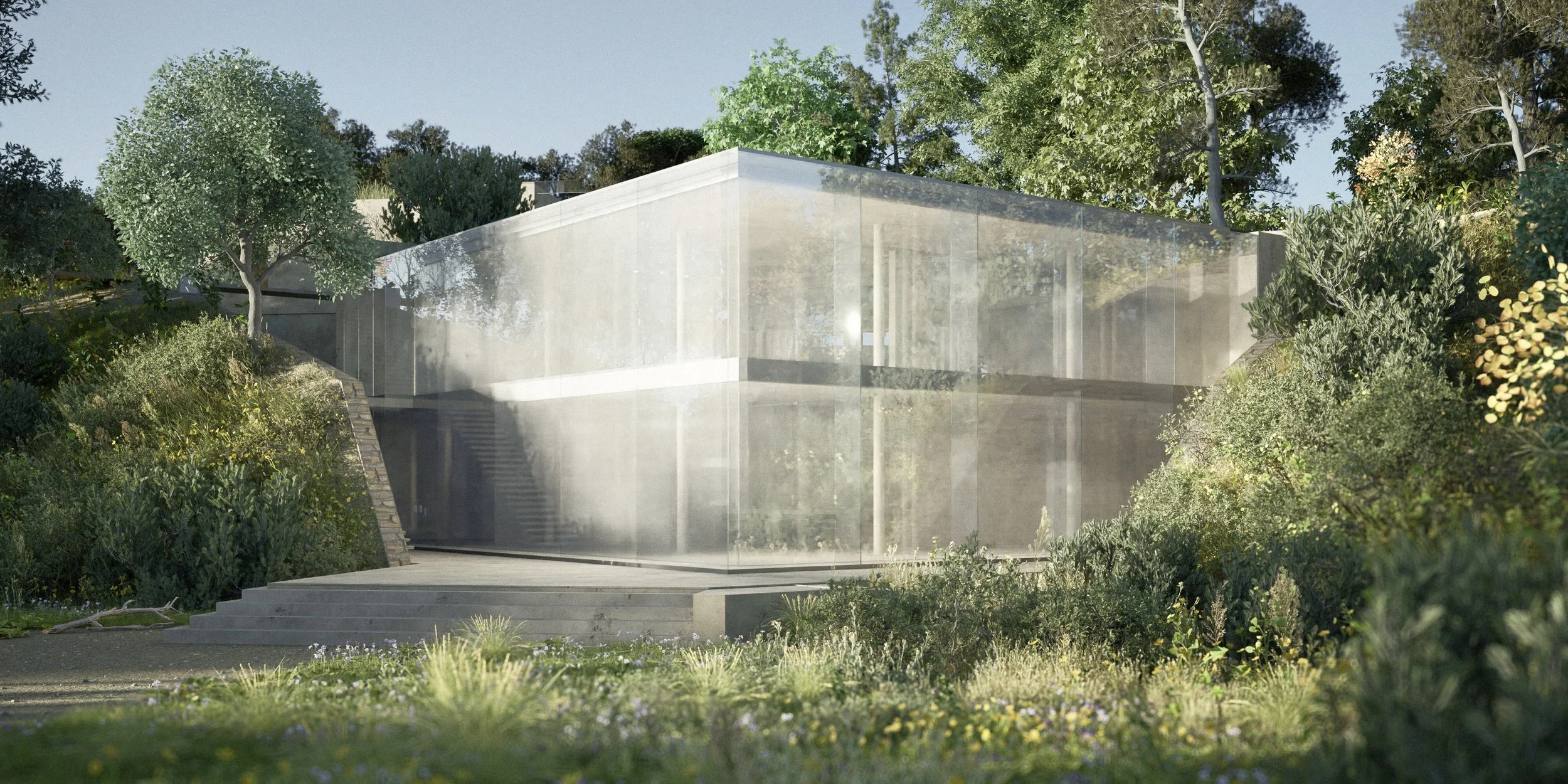
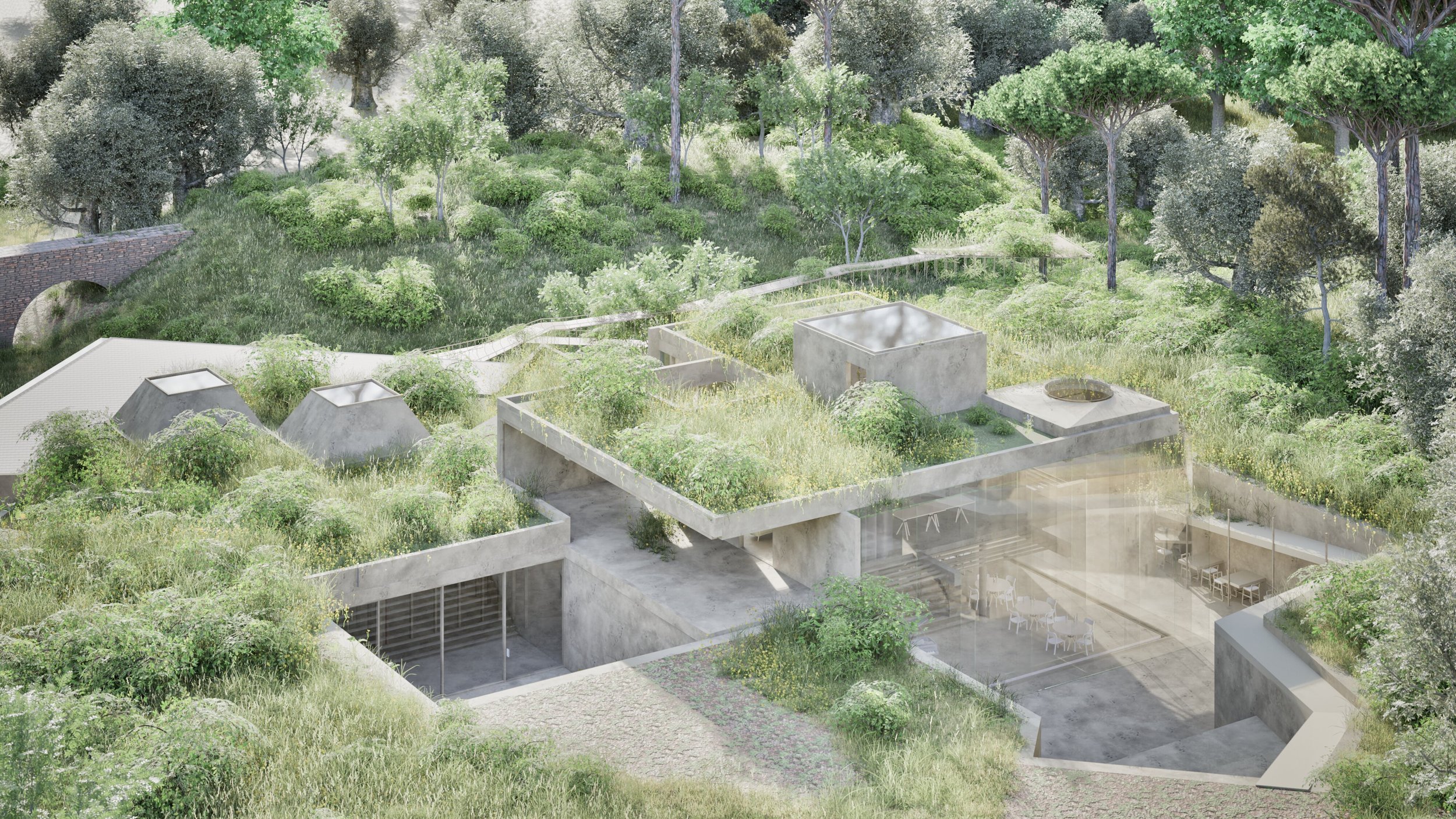
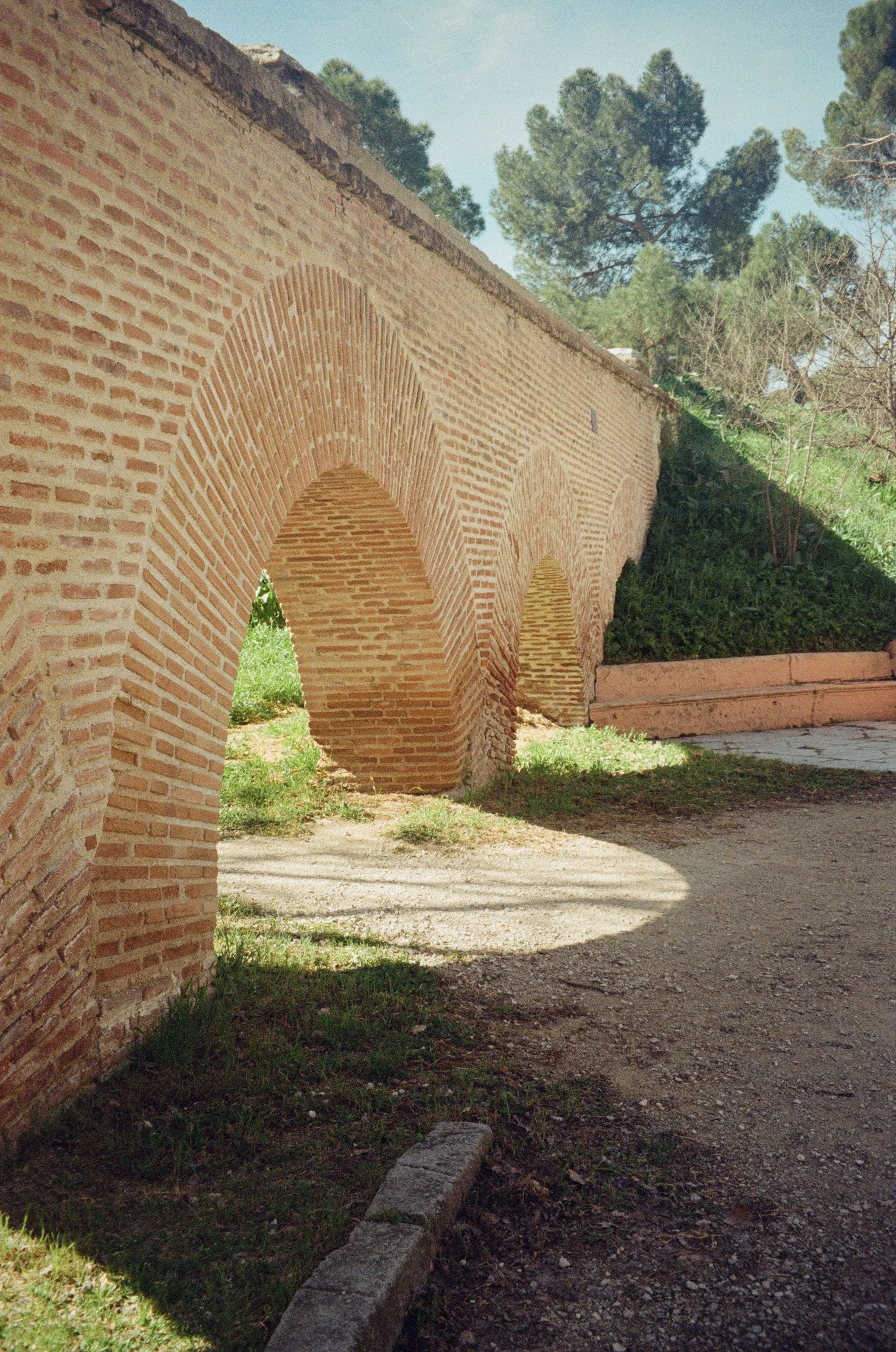
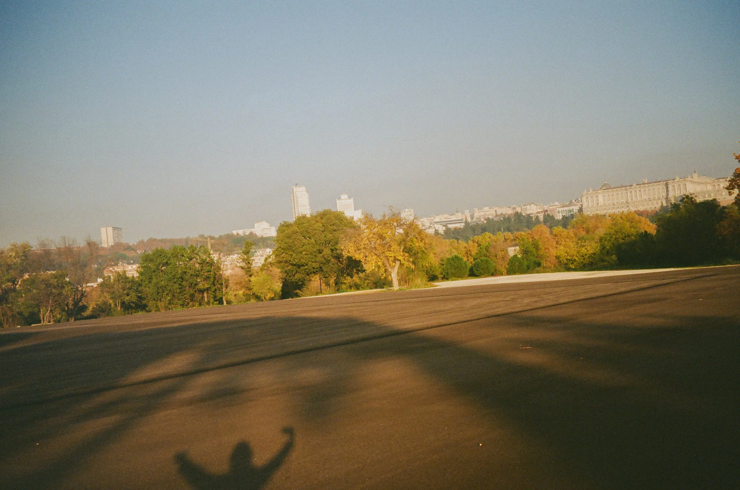
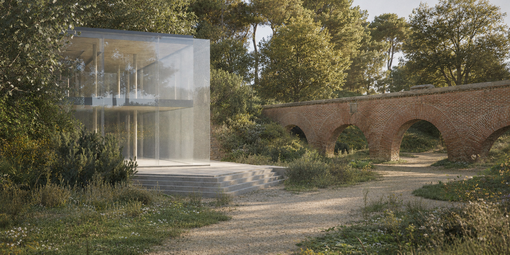
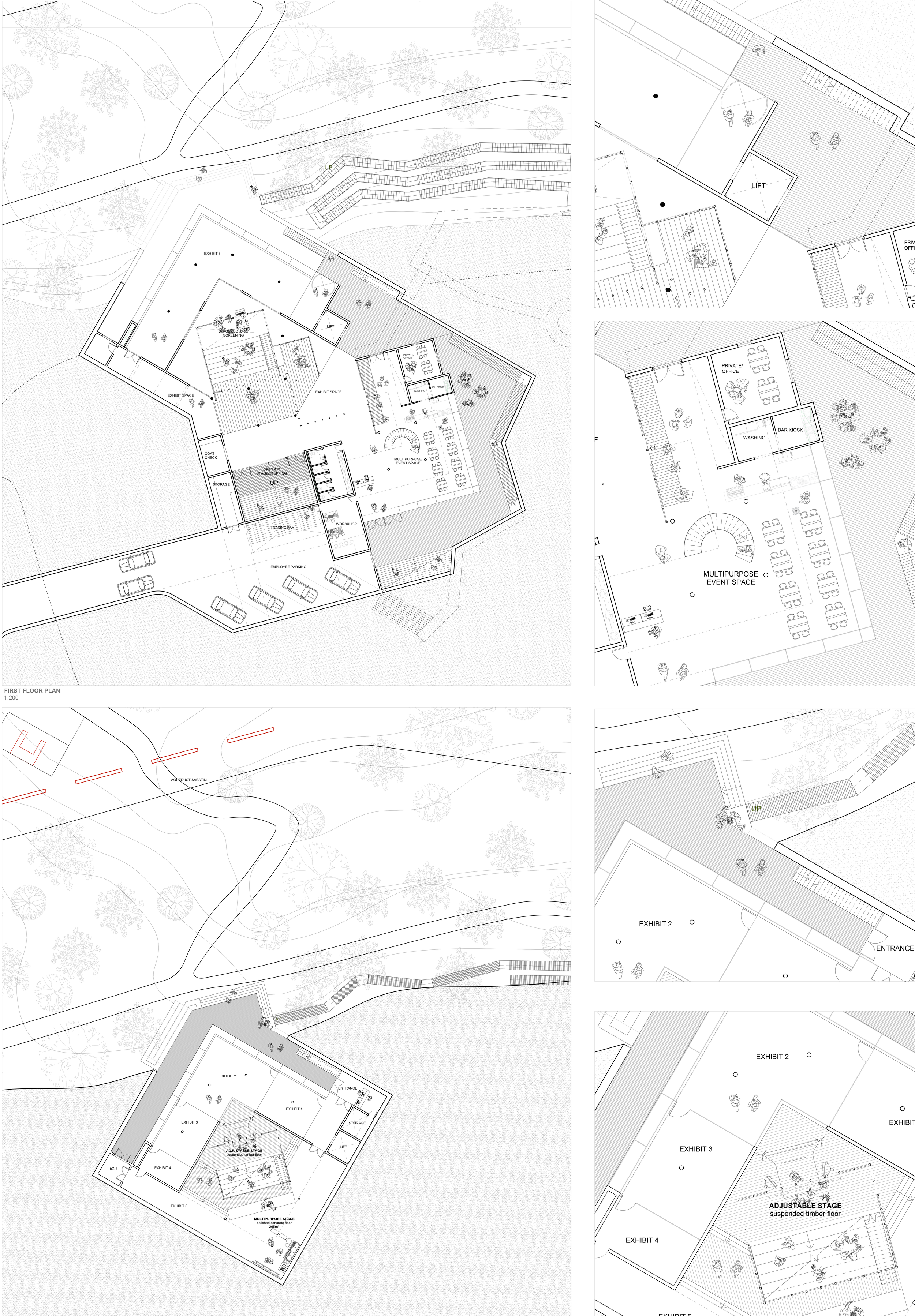
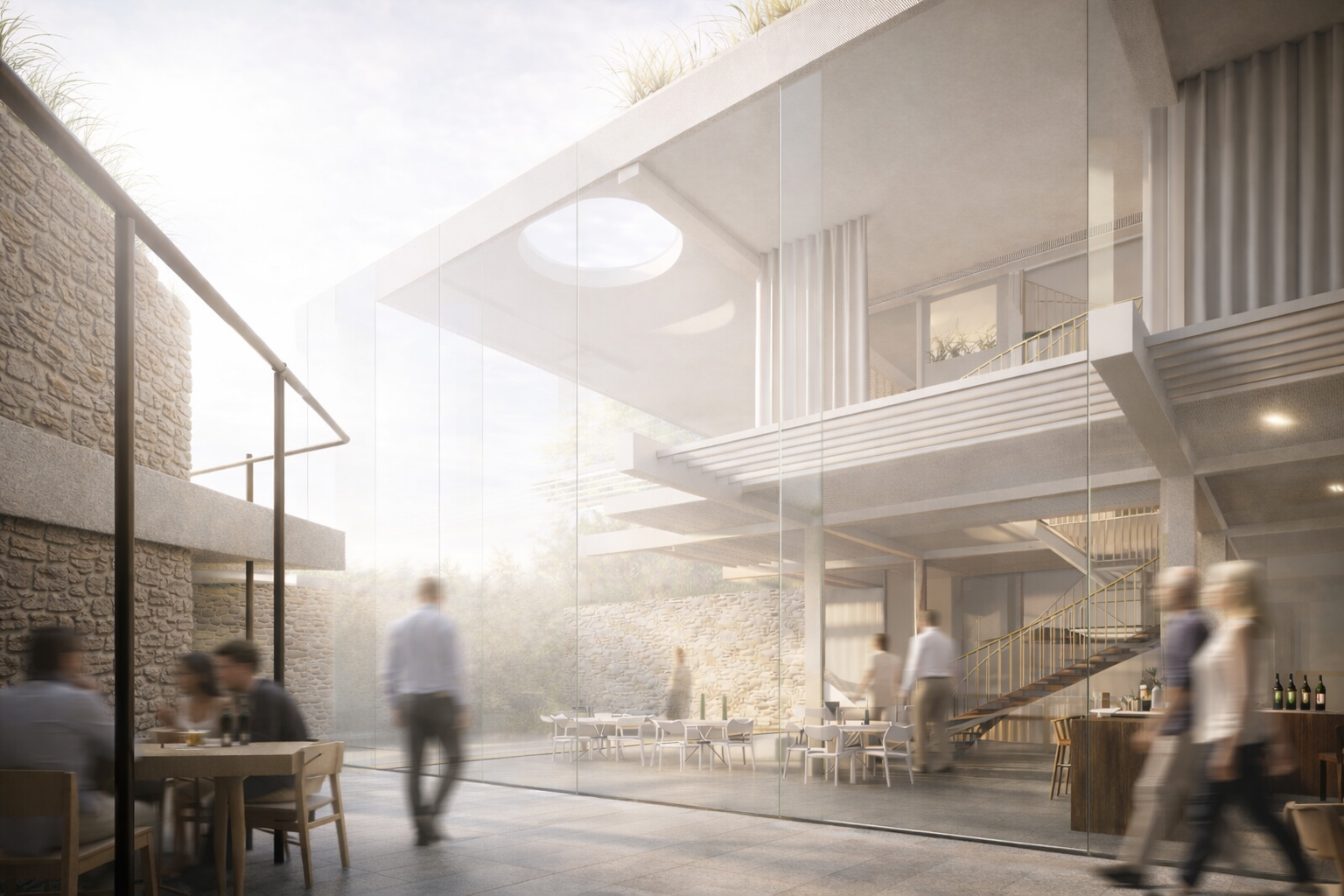
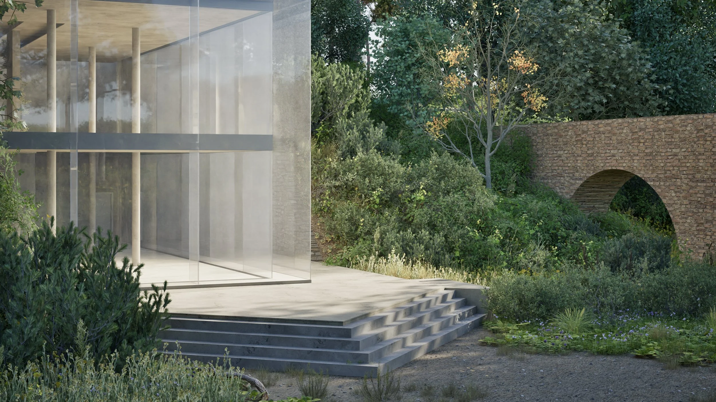
The main intervention sits at Puerta del Ángel, where Madrid meets the eastern edge of Casa de Campo. The asphalt event ground is gradually opened and planted. A visitor centre is built into the embankment beside the Sabatini Aqueduct. Routes pass beneath the aqueduct, through the building and up to the plateau, connecting the city entrance with the wider park.
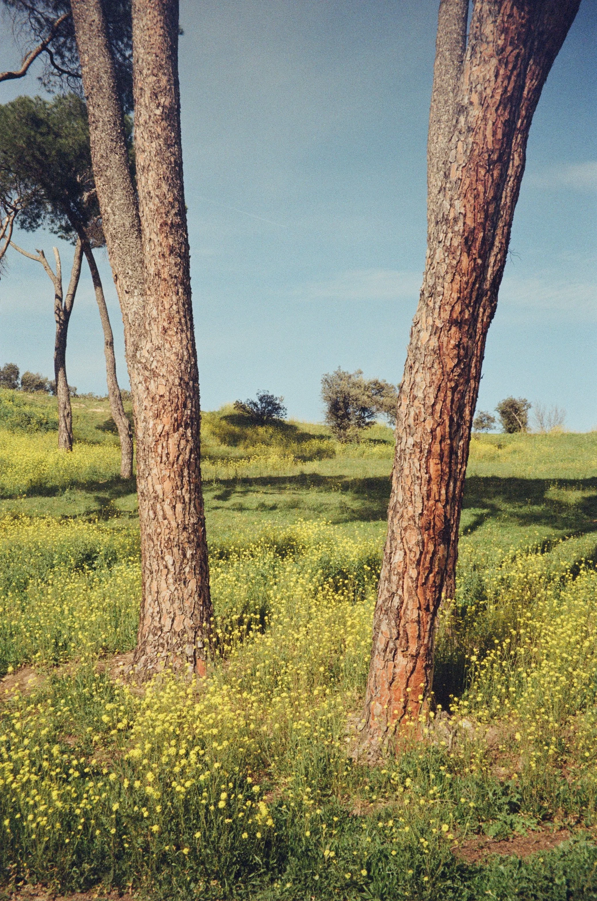
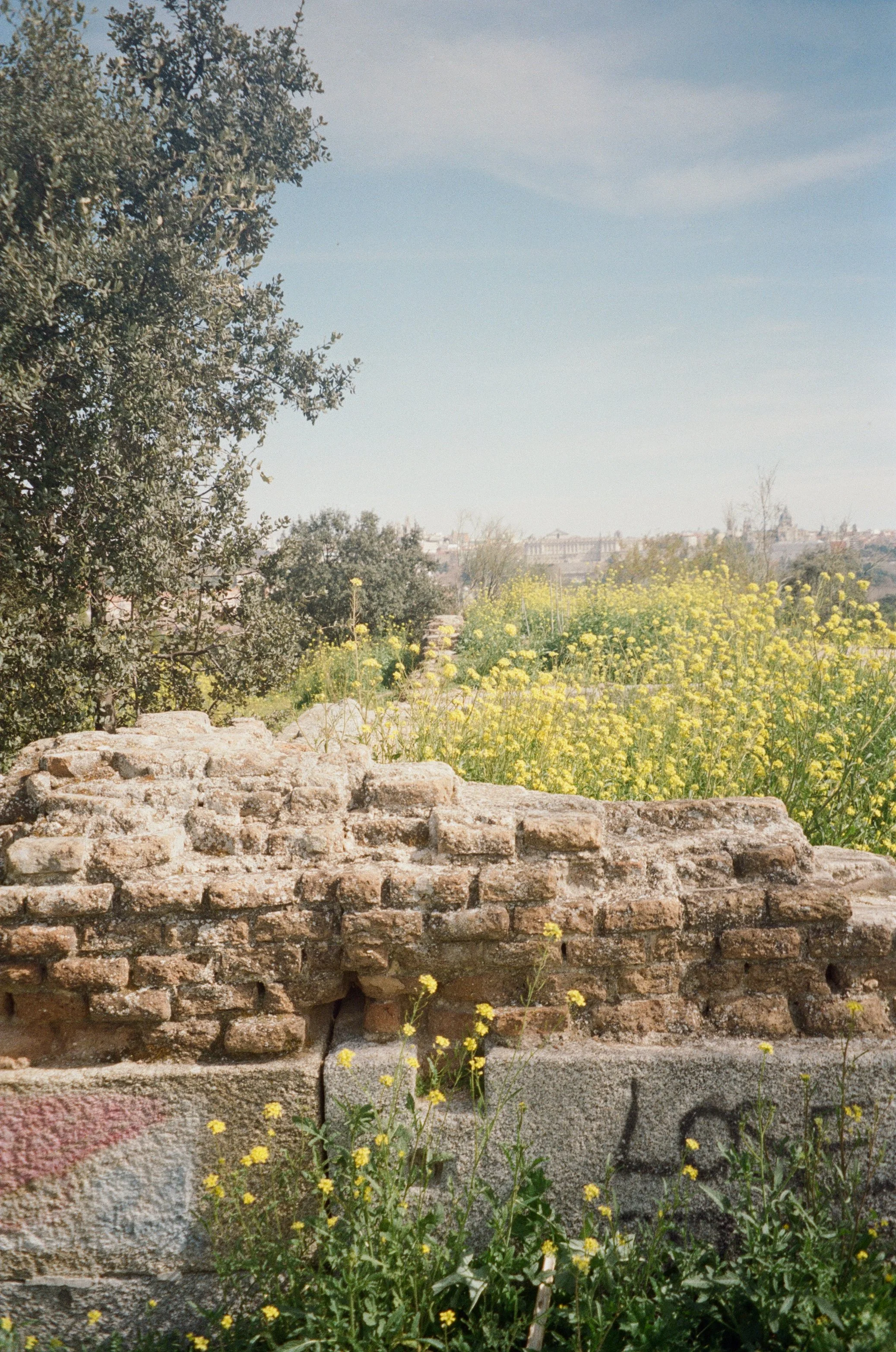
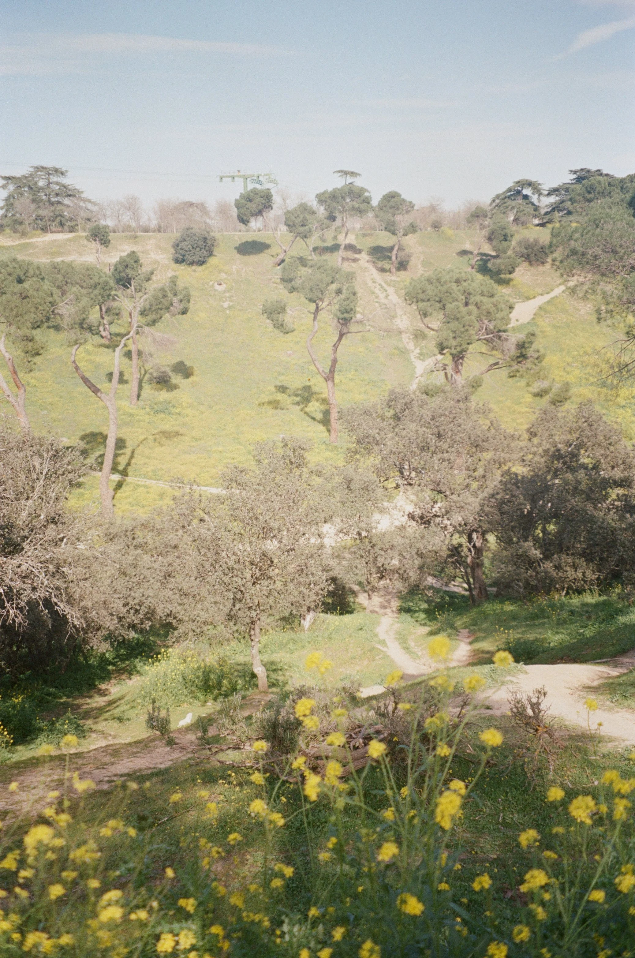
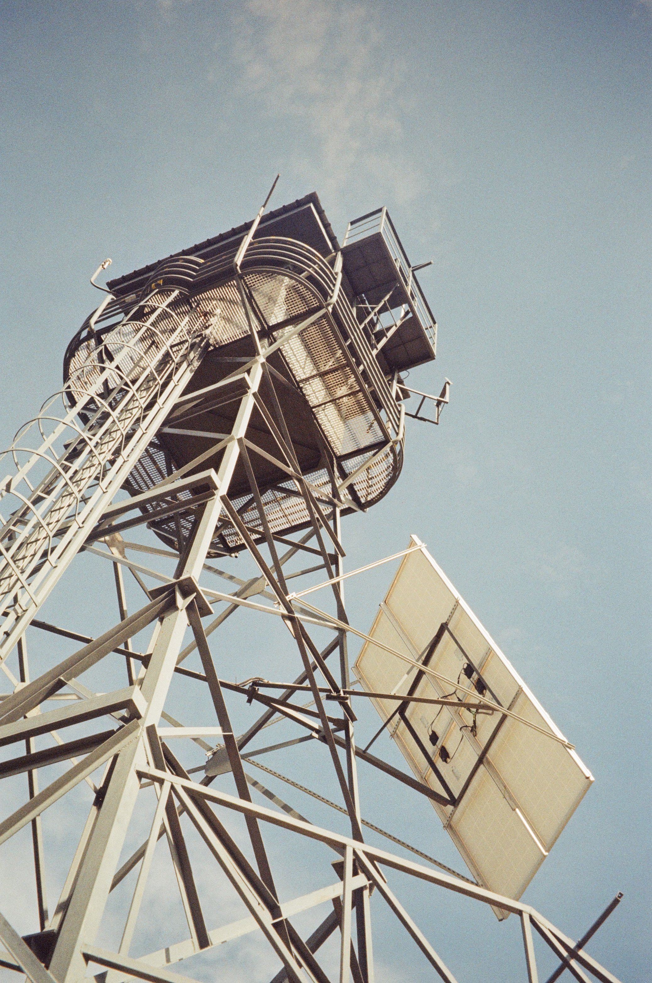
Casa de Campo
Landscape History and Ecology:
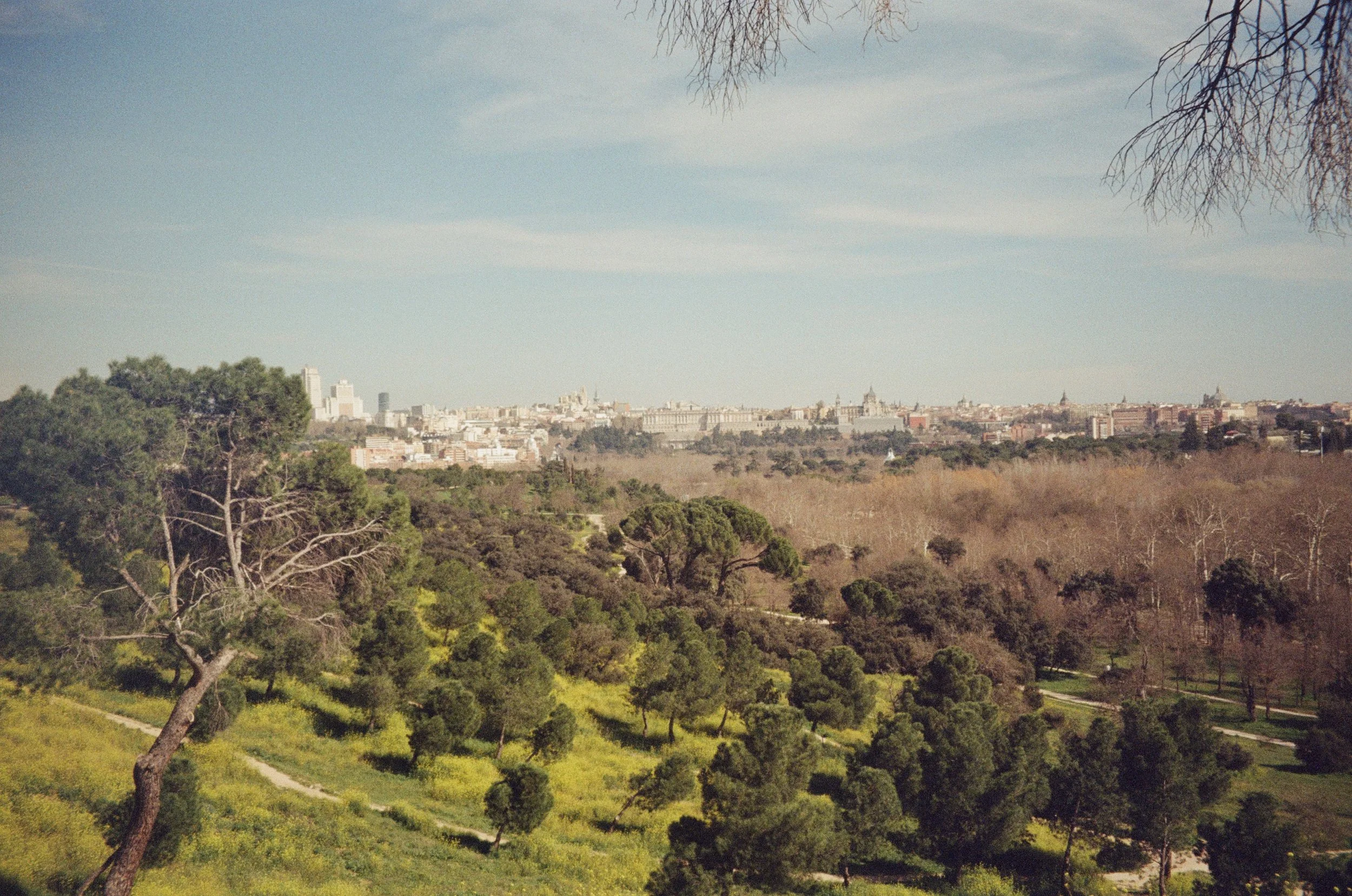
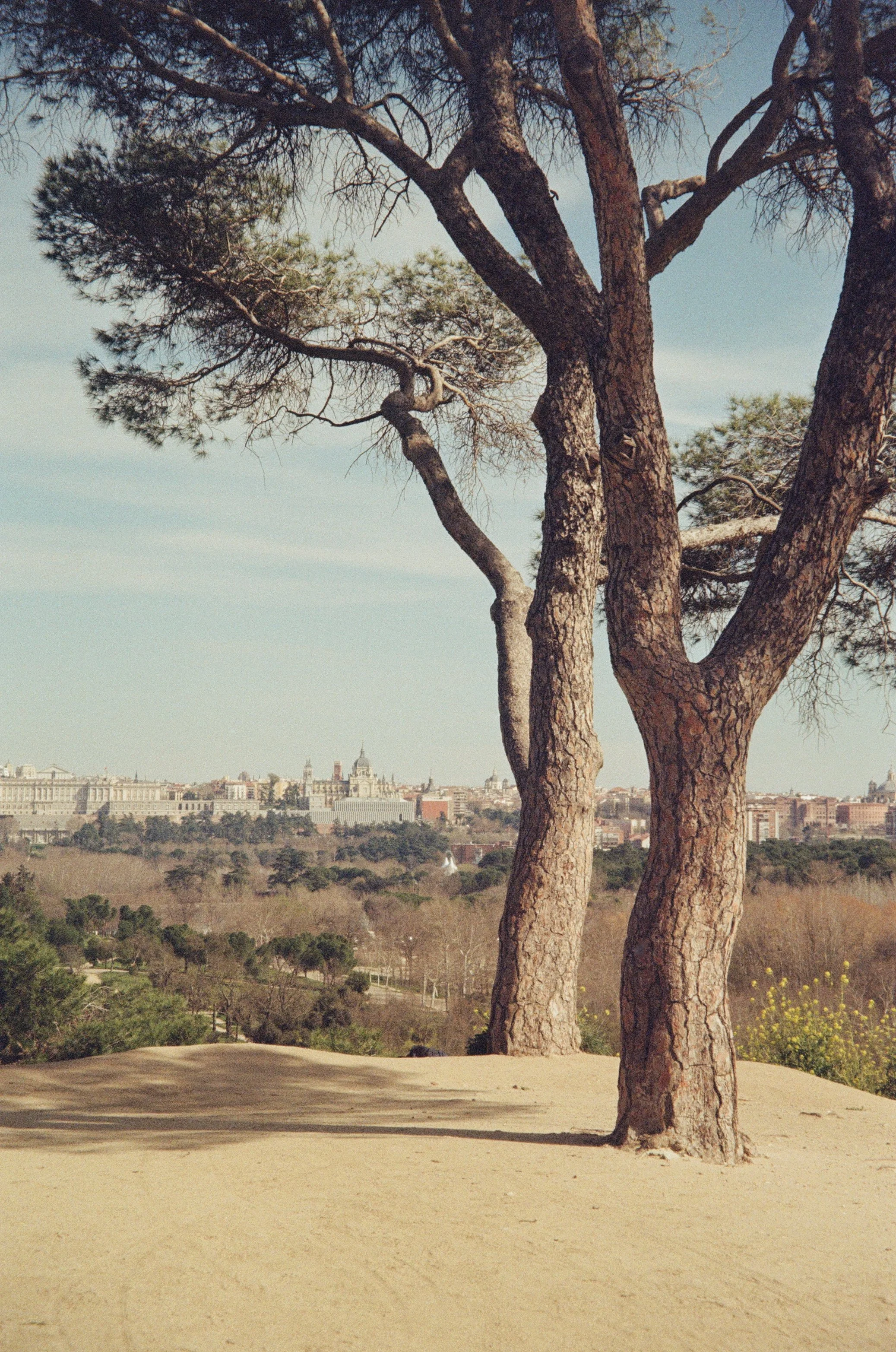
Casa de Campo began as a royal hunting estate, established by Philip II around 1561. Charles III later turned part of the land to farming and livestock. In 1931, the Second Republic transferred the estate to the City of Madrid and opened it to the public.
During the Spanish Civil War, the front line of the Siege of Madrid ran through the park. Many of its buildings were destroyed; trenches and bunkers remain today. In the years after, the state forestry agency Patronato de Fomento de la Explotación Forestal planted pines across the damaged ground to stabilise the soil and cover the war's remnants.
Those pines now set the light, litter chemistry, and fire load across much of the park. Utility corridors are cleared on a recurring basis to keep power lines open, and thinning and planting programs continue to shape which species take hold.
Urban Proposal:
A network across Casa de Campo
Puerta del Ángel
Main Site
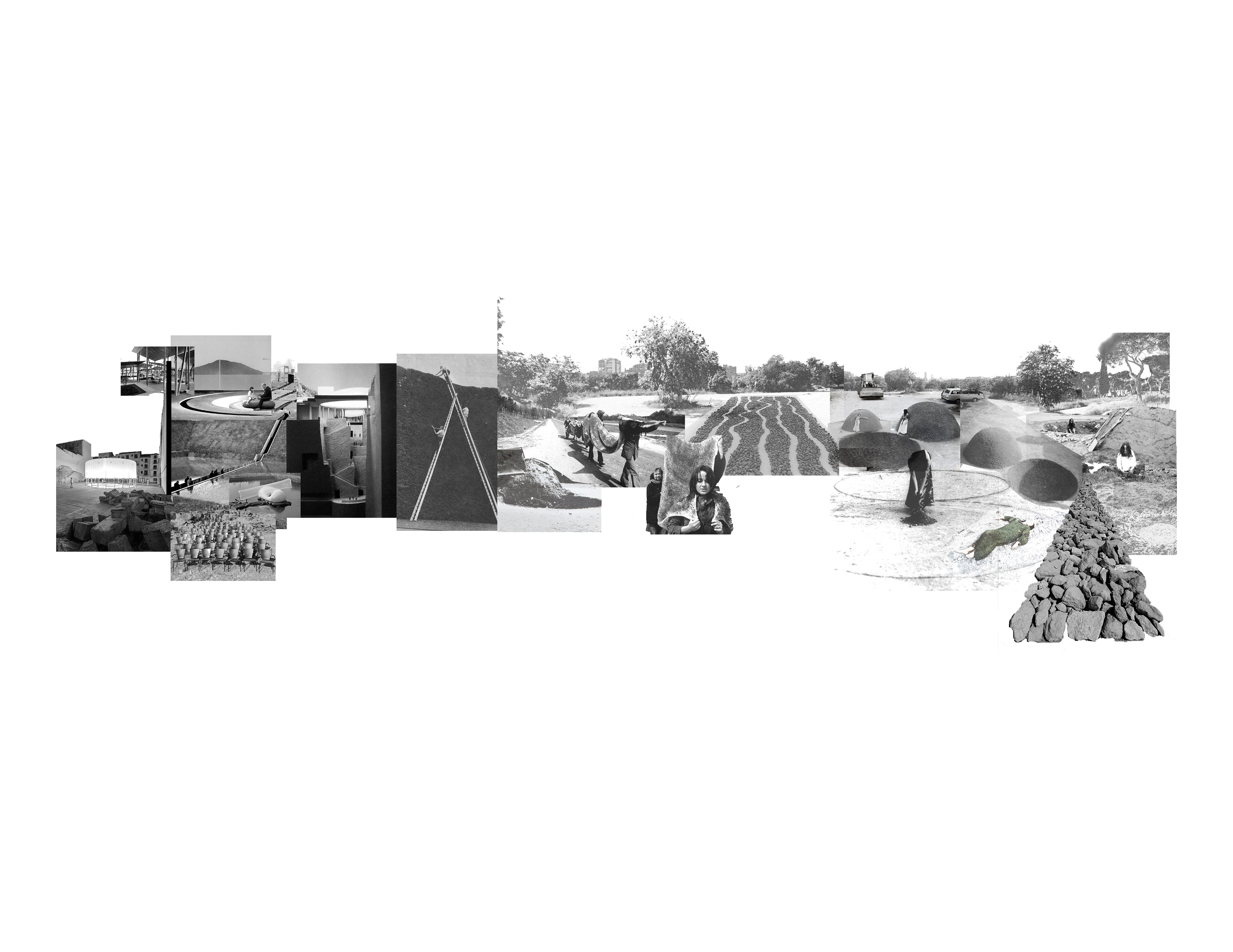
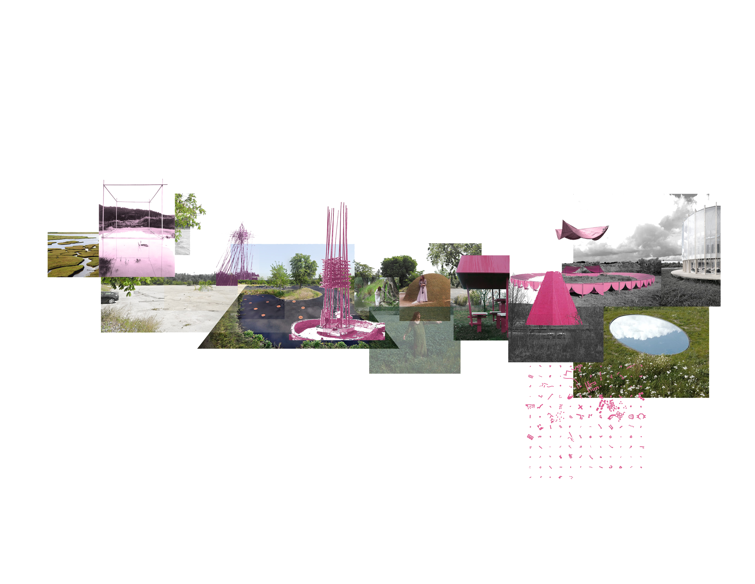
The arrival and destination of the trail network across Casa de Campo. Phased asphalt removal allows the ground to regenerate. A structure at the embankment bridges the 10-metre level change between lower park and upper plateau, enabling the route while providing gathering space during ground transformation. As the ground stabilizes and vegetation establishes, the structure encloses as exhibition. Excavated rubble becomes retaining walls; felled pine becomes interim structures.
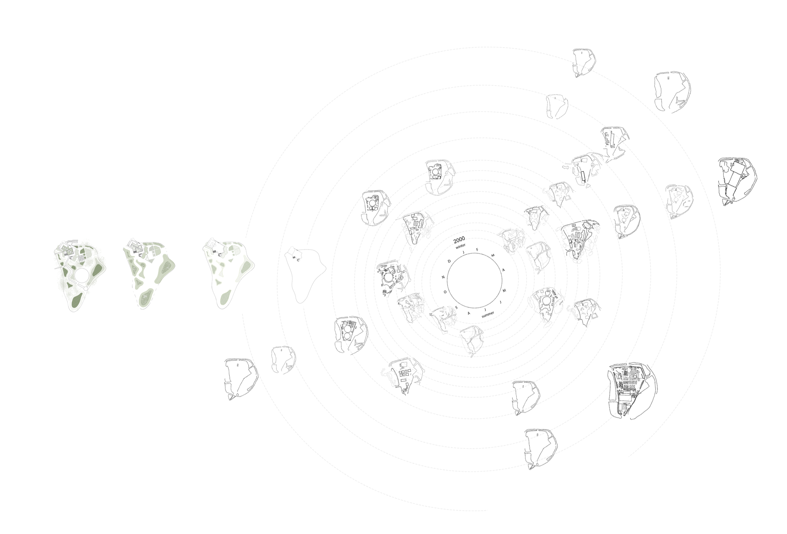
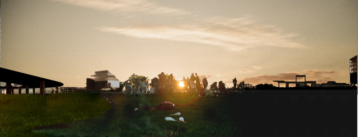
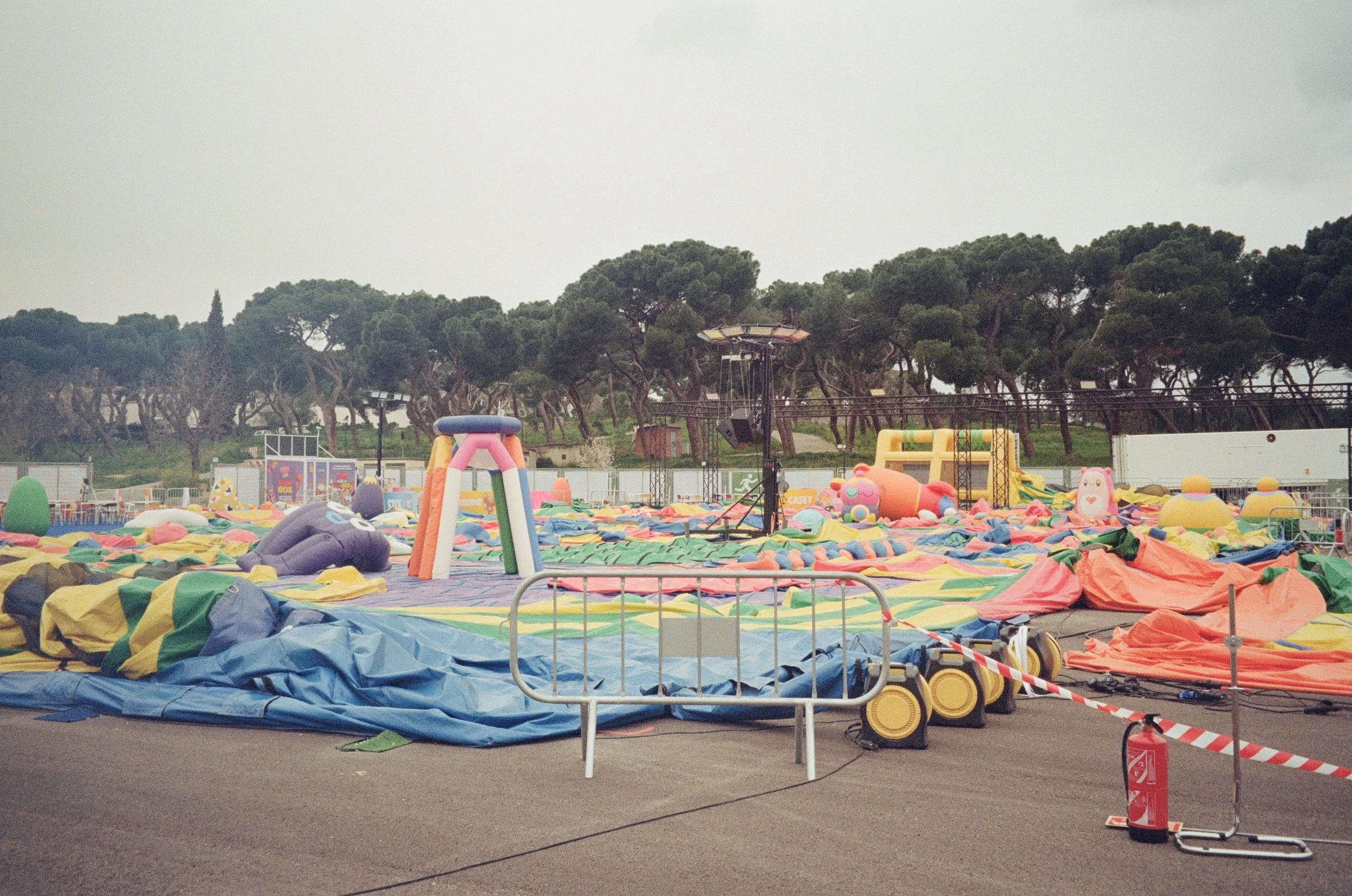
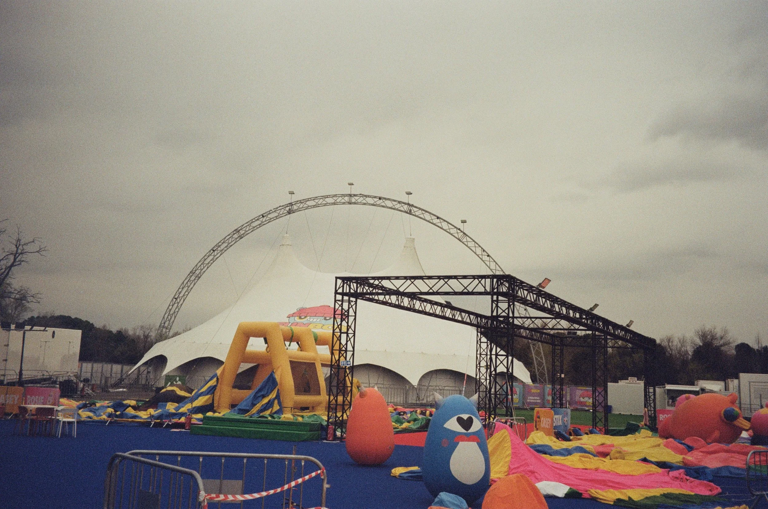
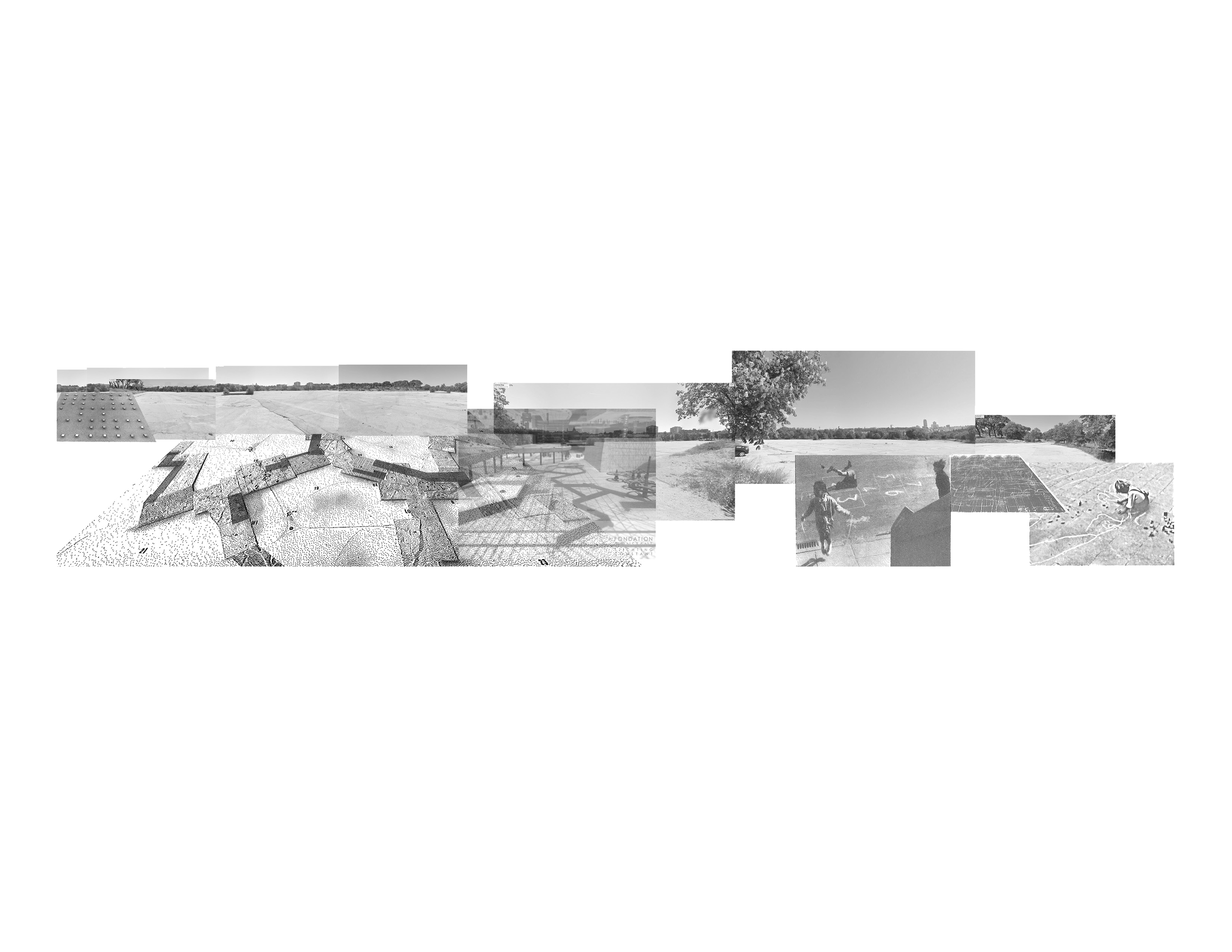
23-year analysis of Puerta de Ángel, mapping festivals, circuses, concerts, expos, and funfairs from aerial imagery. While events temporarily activate the site, they often overwhelm the neighbourhood, and for most of the year, the asphalted field remains dormant. The design weaves permanent landscape interventions with event-ready areas, keeping the site lively and integrated throughout the year
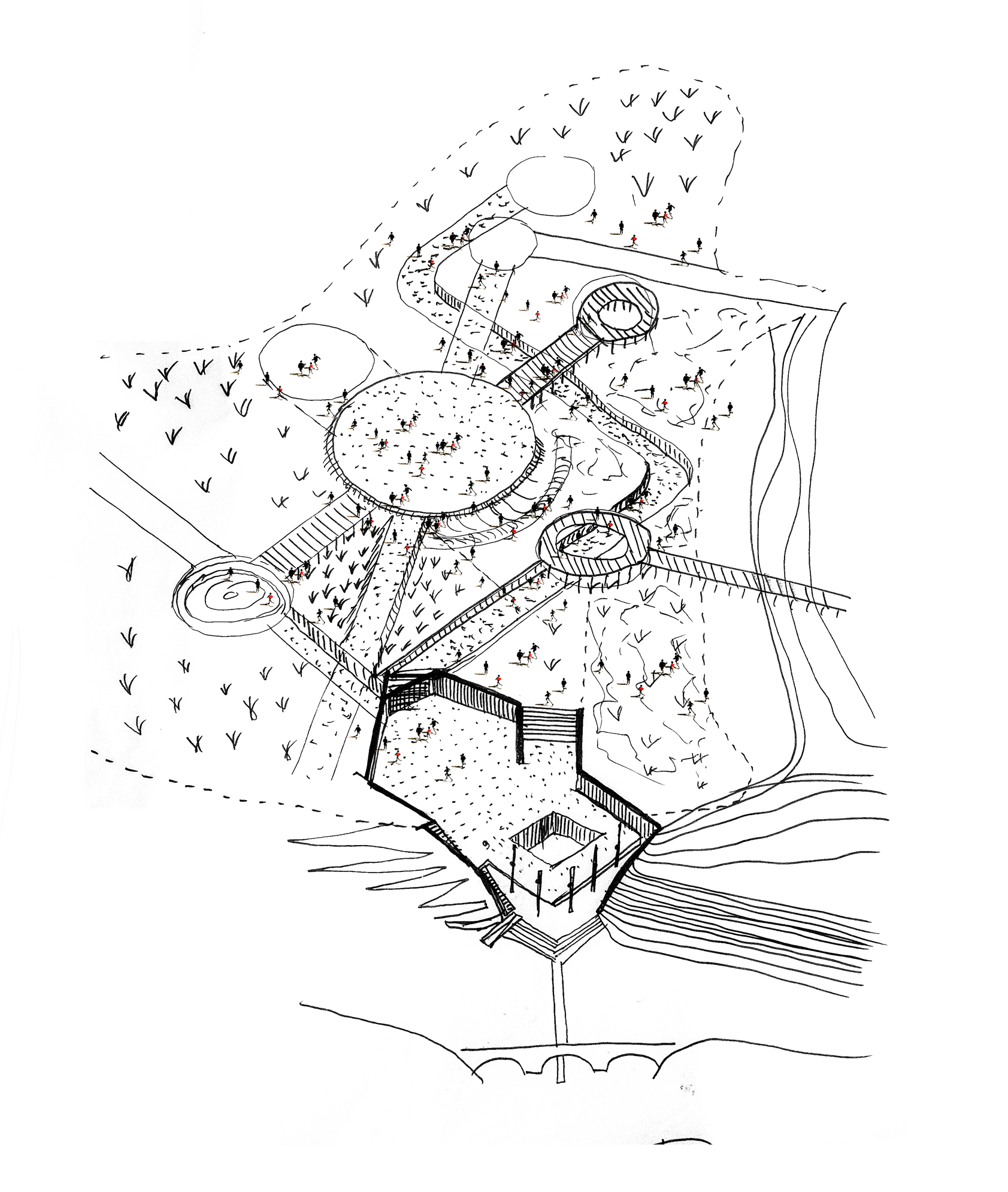
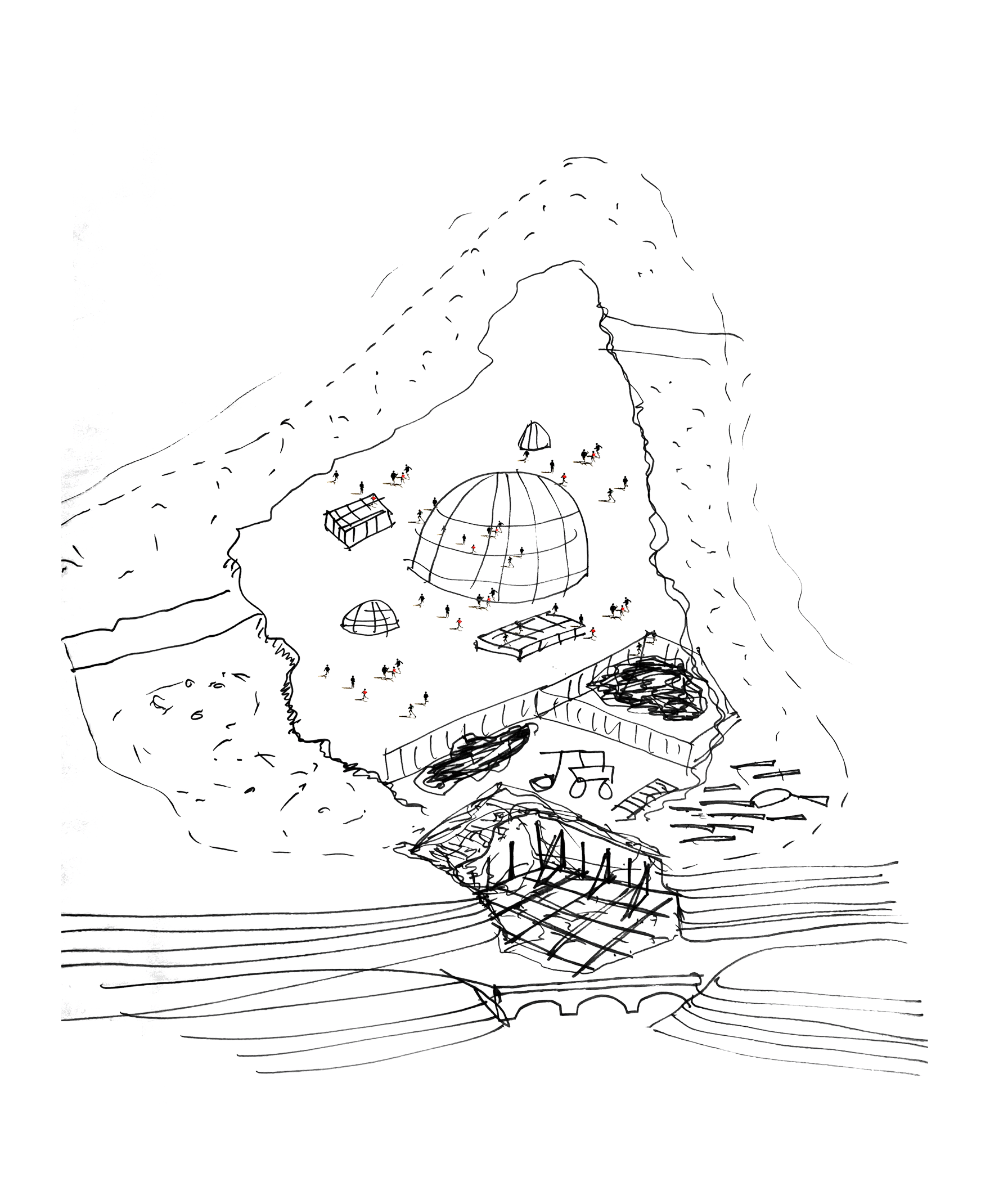
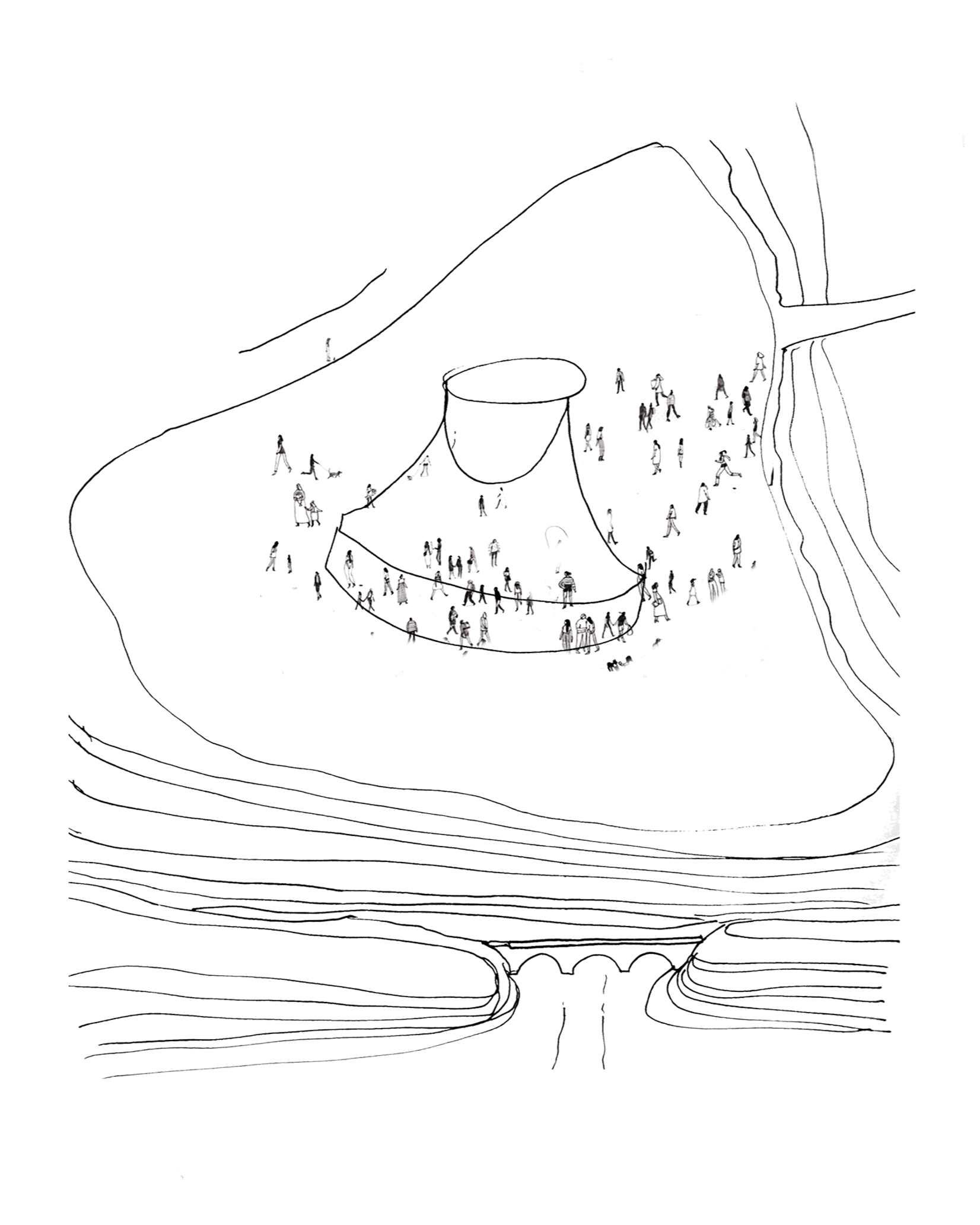
Time-Based Transformation Framework
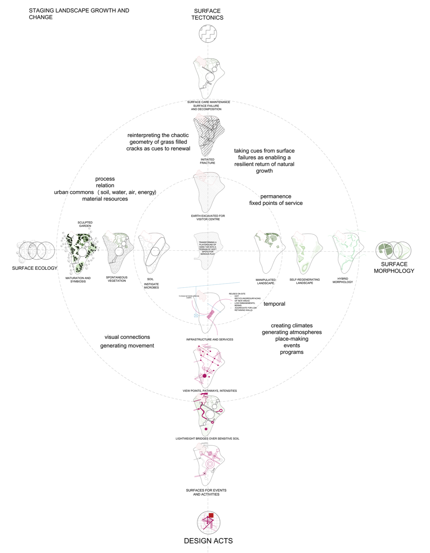
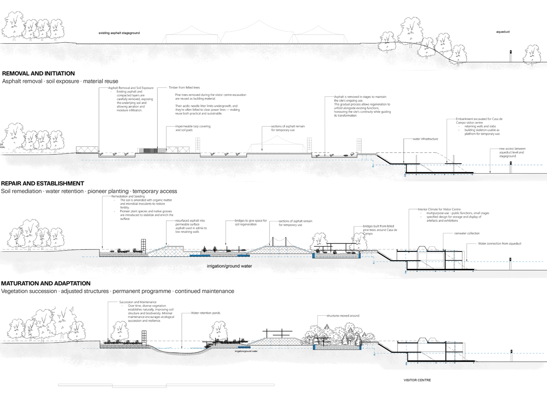
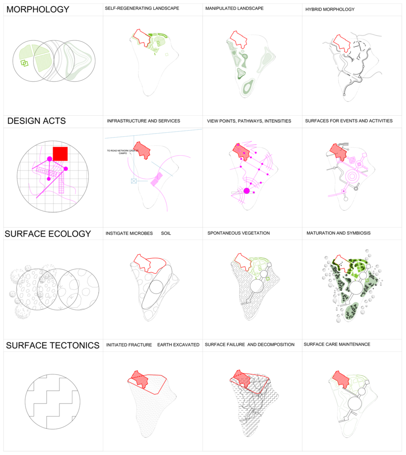
How can a time-based landscape framework coordinate interventions across the different rhythms of public use, material removal, soil recovery, ecological succession and construction, while responding to uncertain trajectories of change?
A matrix guides which ground is removed, retained, planted, or left open at each phase.
Four frameworks work together:
Morphology:
self-regenerating, manipulated, and hybrid landscape conditions
Design acts:
infrastructure, viewpoints, event surfaces
Surface ecology:
microbial inoculation, spontaneous vegetation, maturation
Surface tectonics:
initiated fracture, decomposition, maintenance
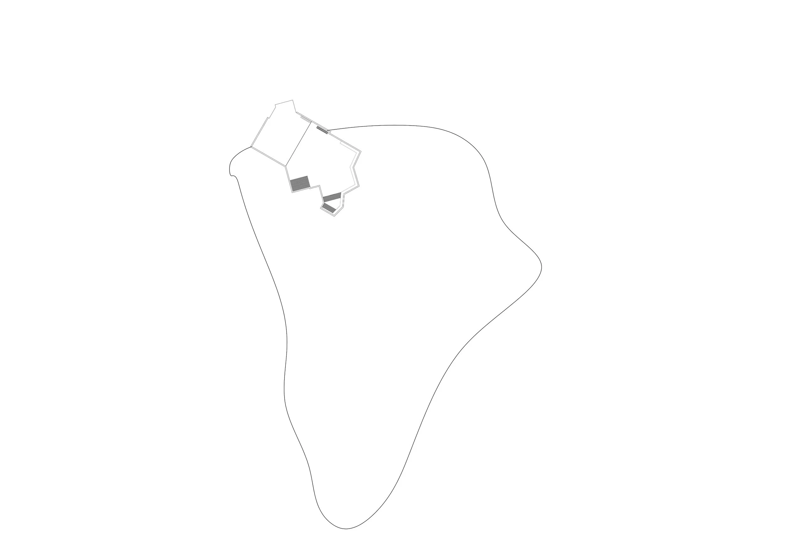
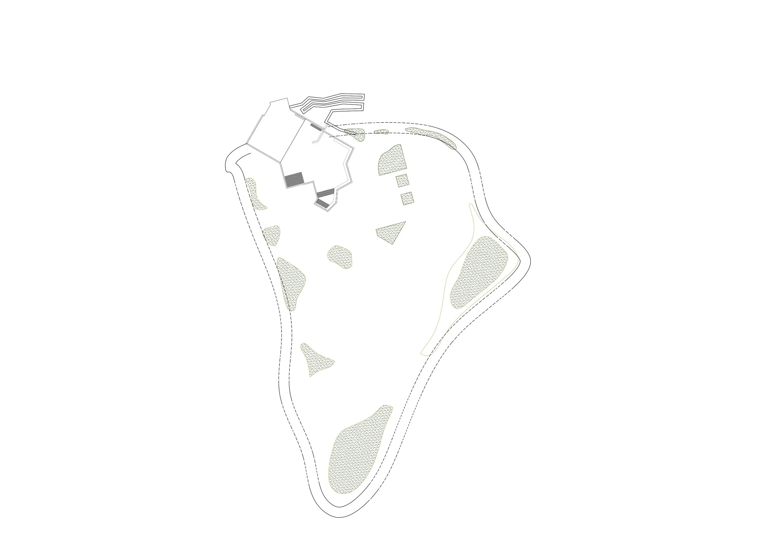
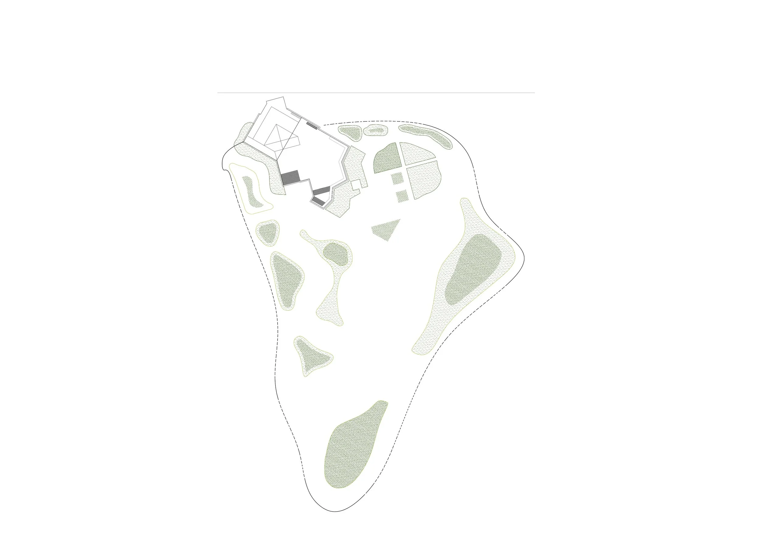
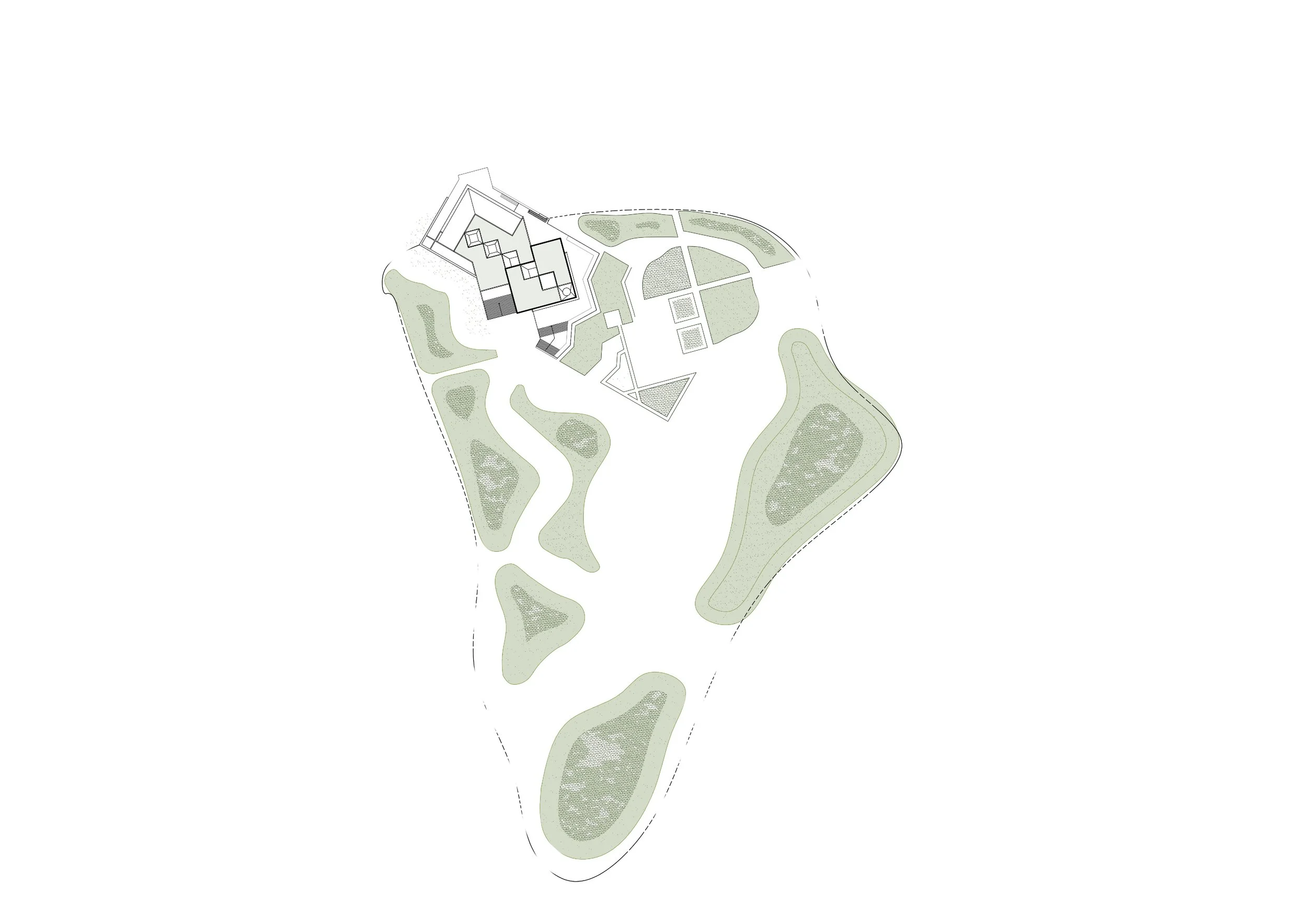
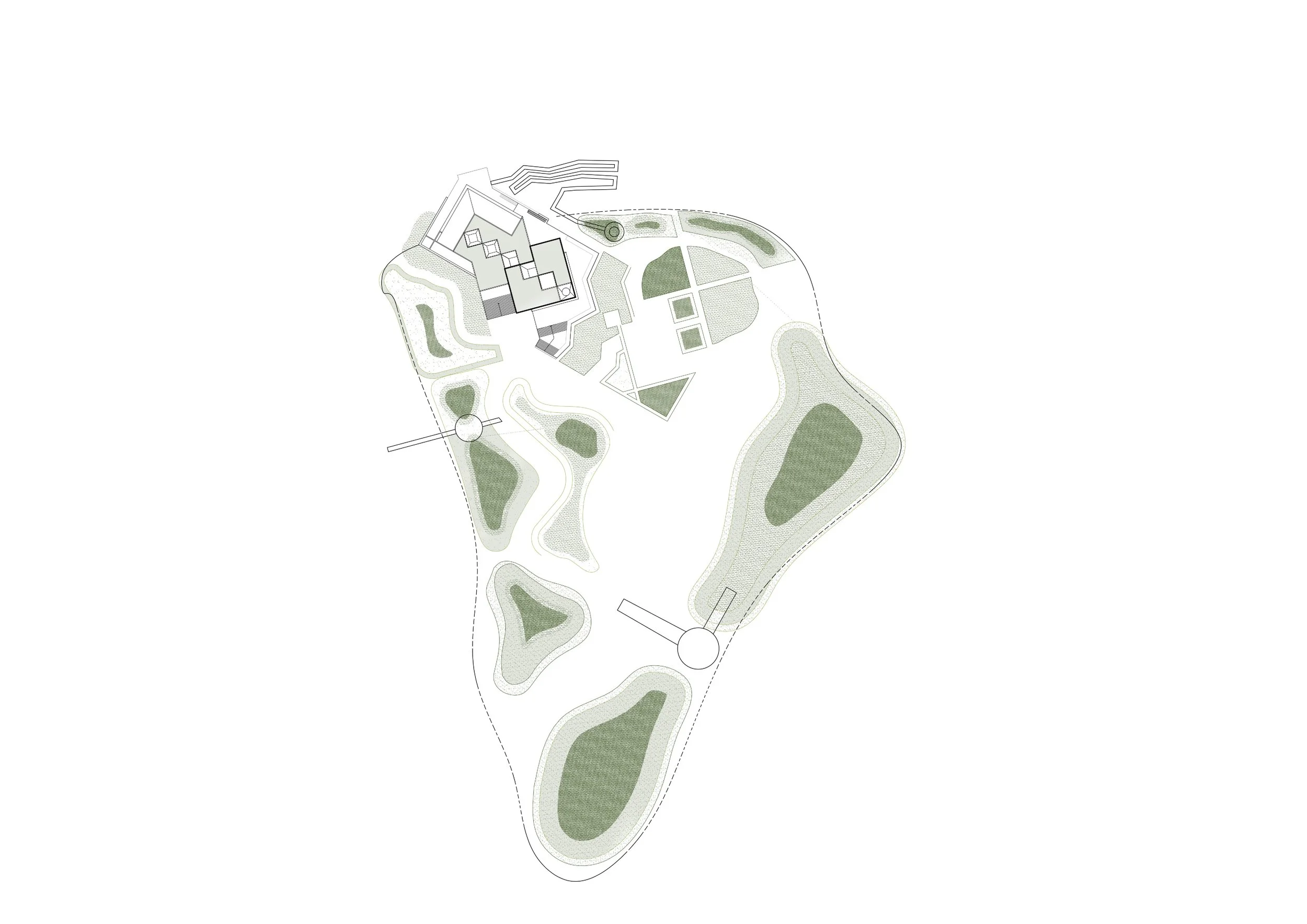
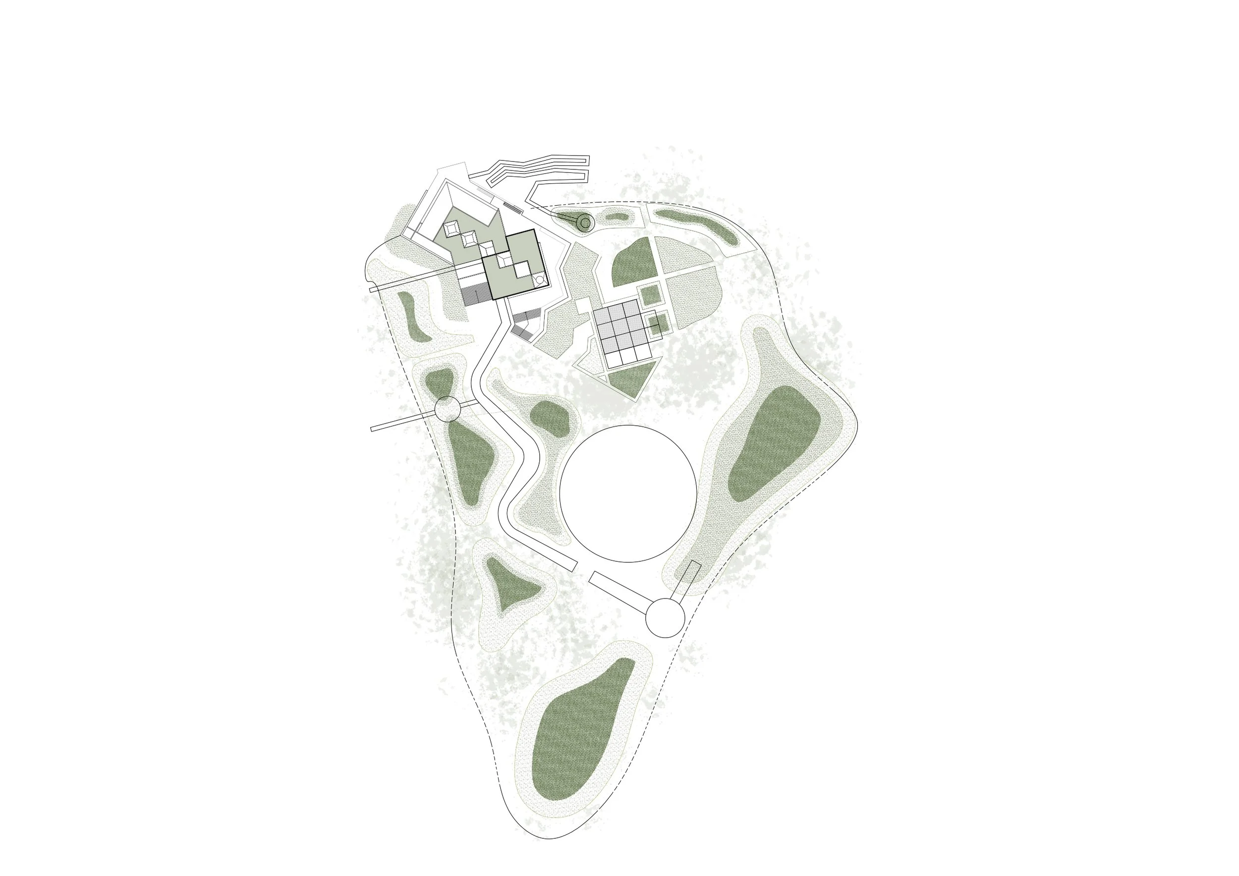
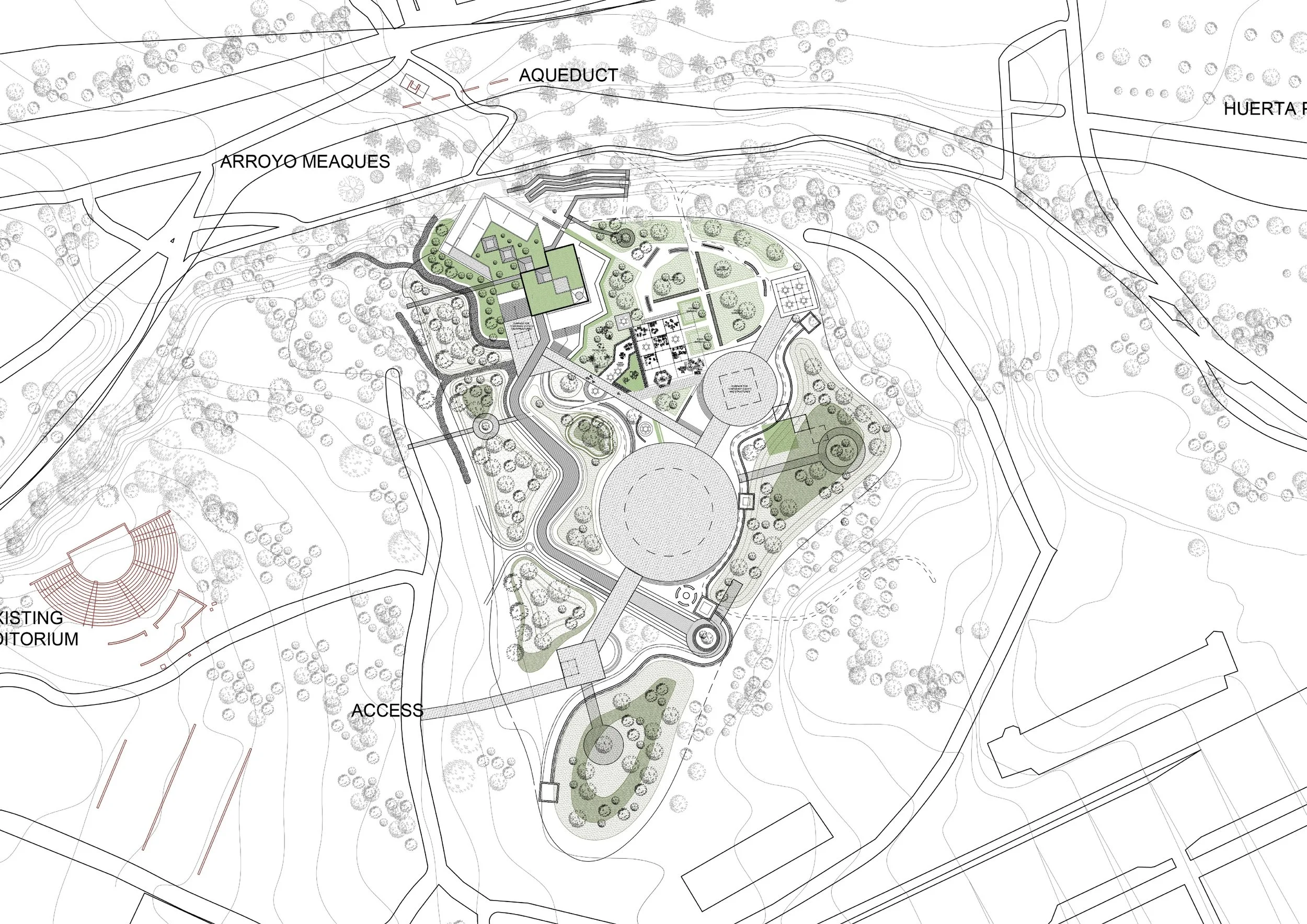

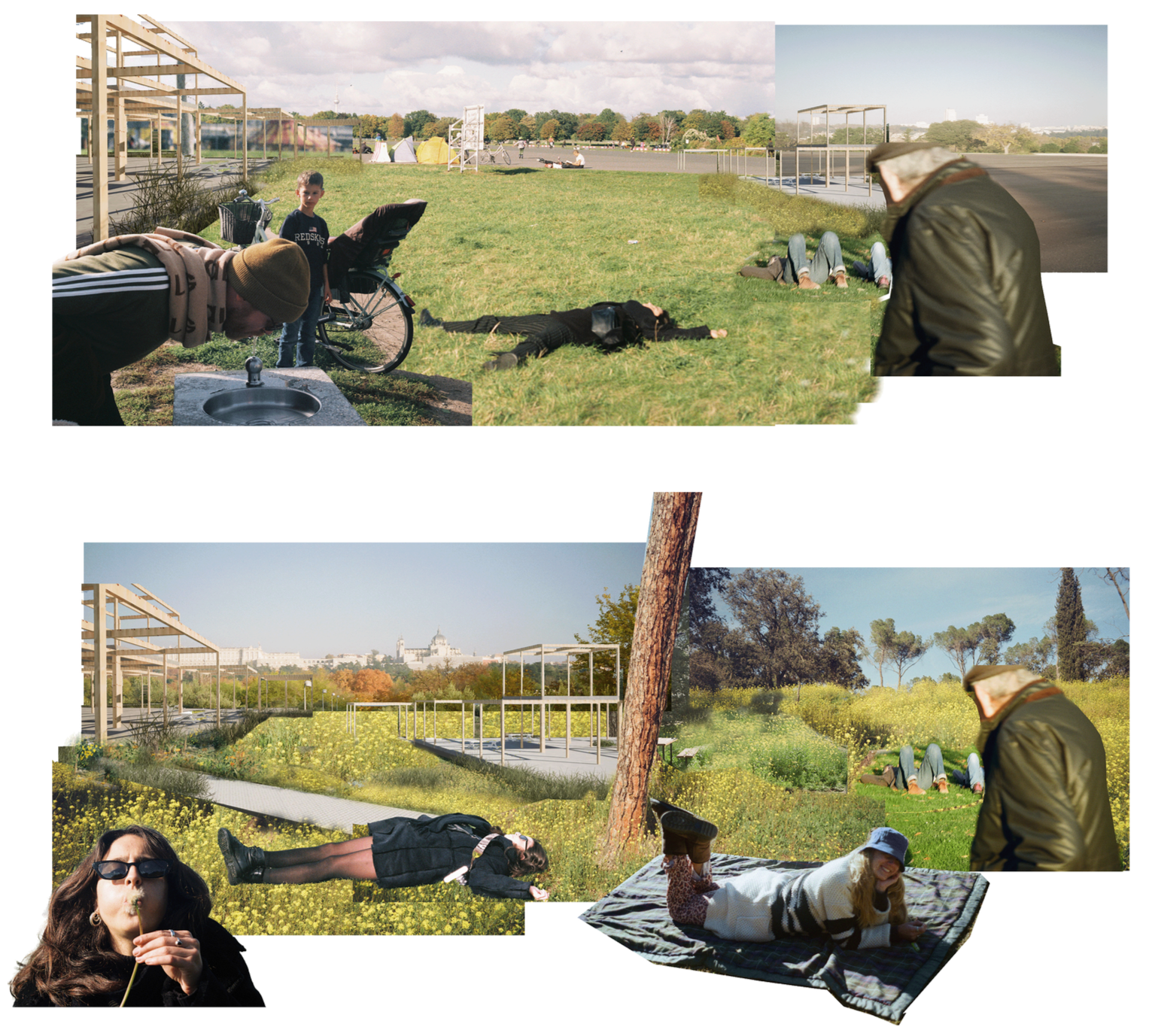
Phase 1: Initiation Asphalt is gradually removed, slabs laid, and earth reshaped. Visitors continue to explore, gather, and play—the park begins its transformation without pausing human activity.

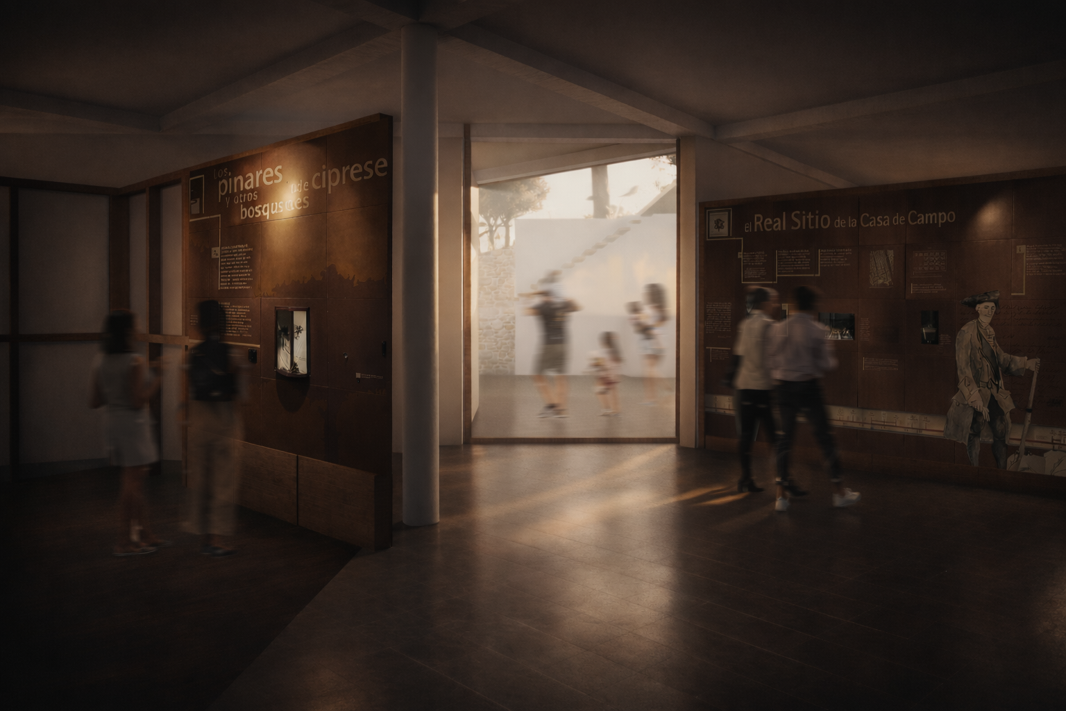
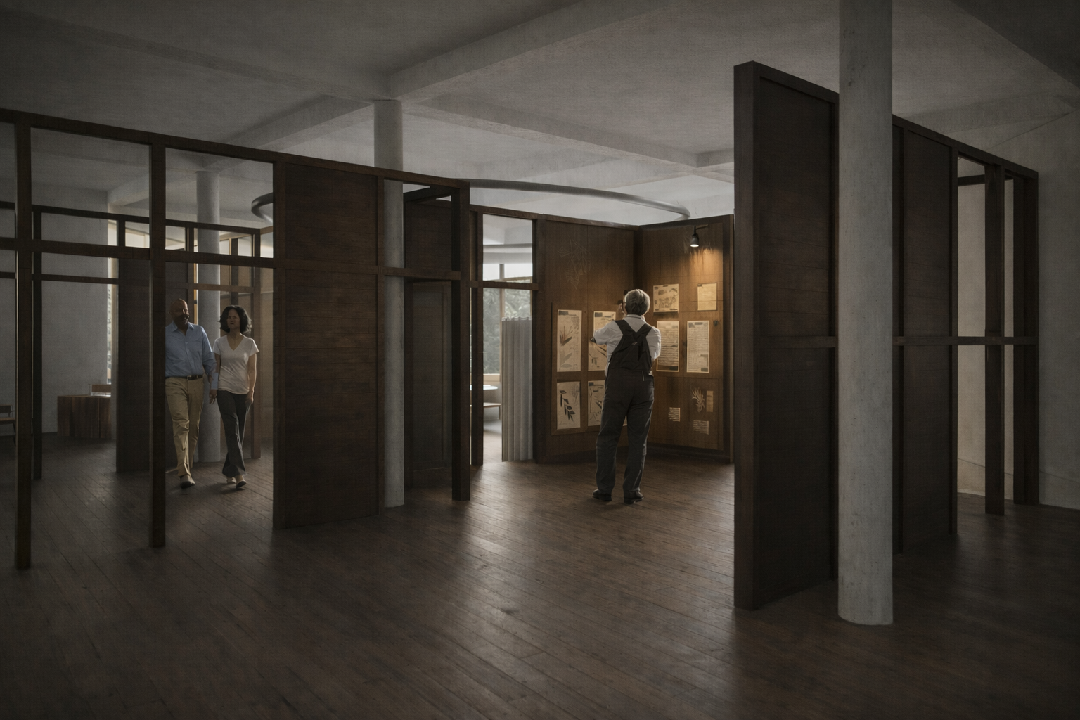
Phase 2: Building & Regeneration The building facade is completed, providing protected, multi-functional space for exhibitions and artefact storage. The surrounding landscape regenerates, evolving alongside ongoing activity.

Phase 3: Symbiosis Architecture, ecology, and human use coexist. Trails, interventions, and natural growth interact seamlessly, creating playful, surprising, and adaptive experiences across the site.
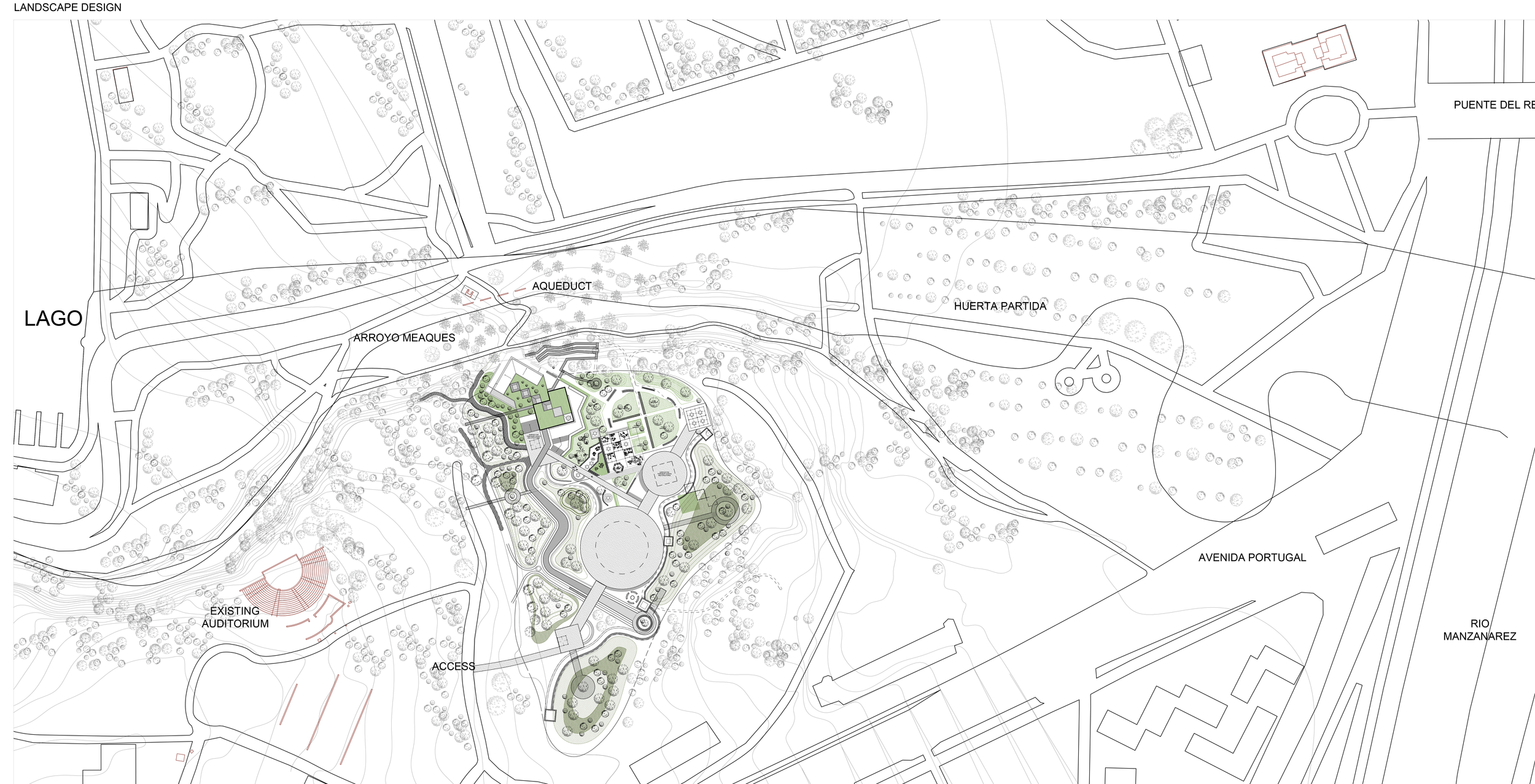
Master Plan
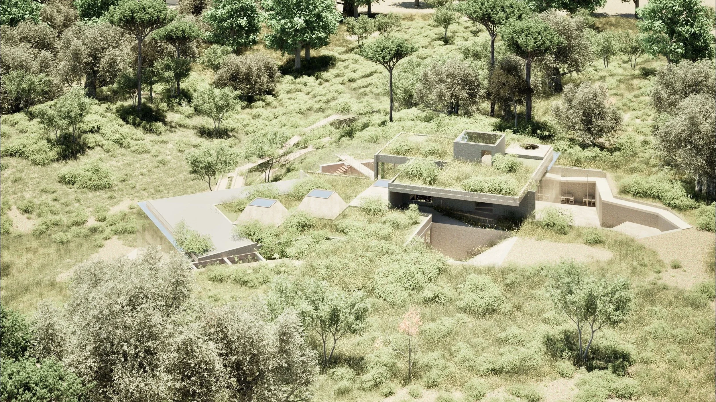
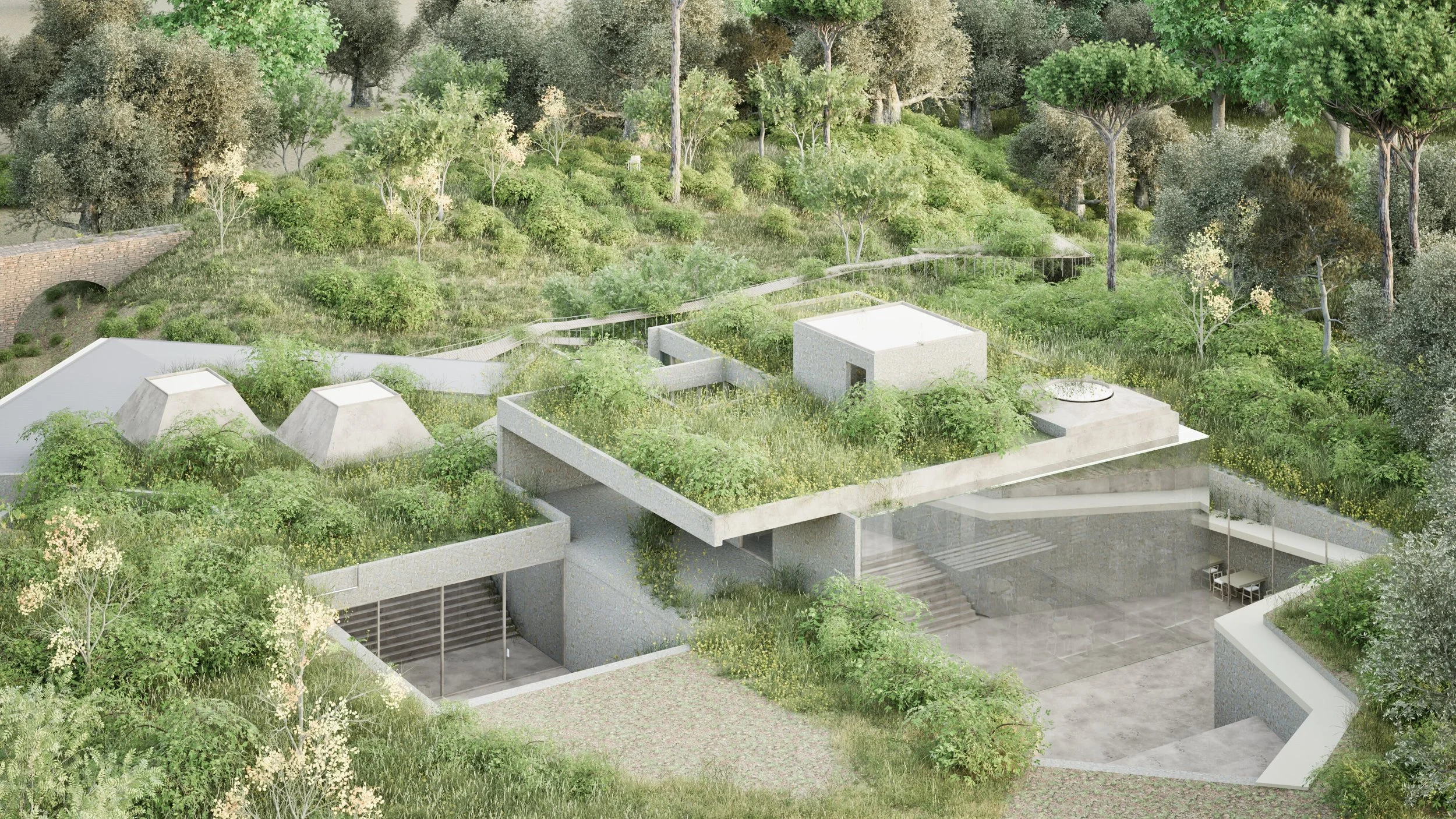
Roof and Landscape Plan
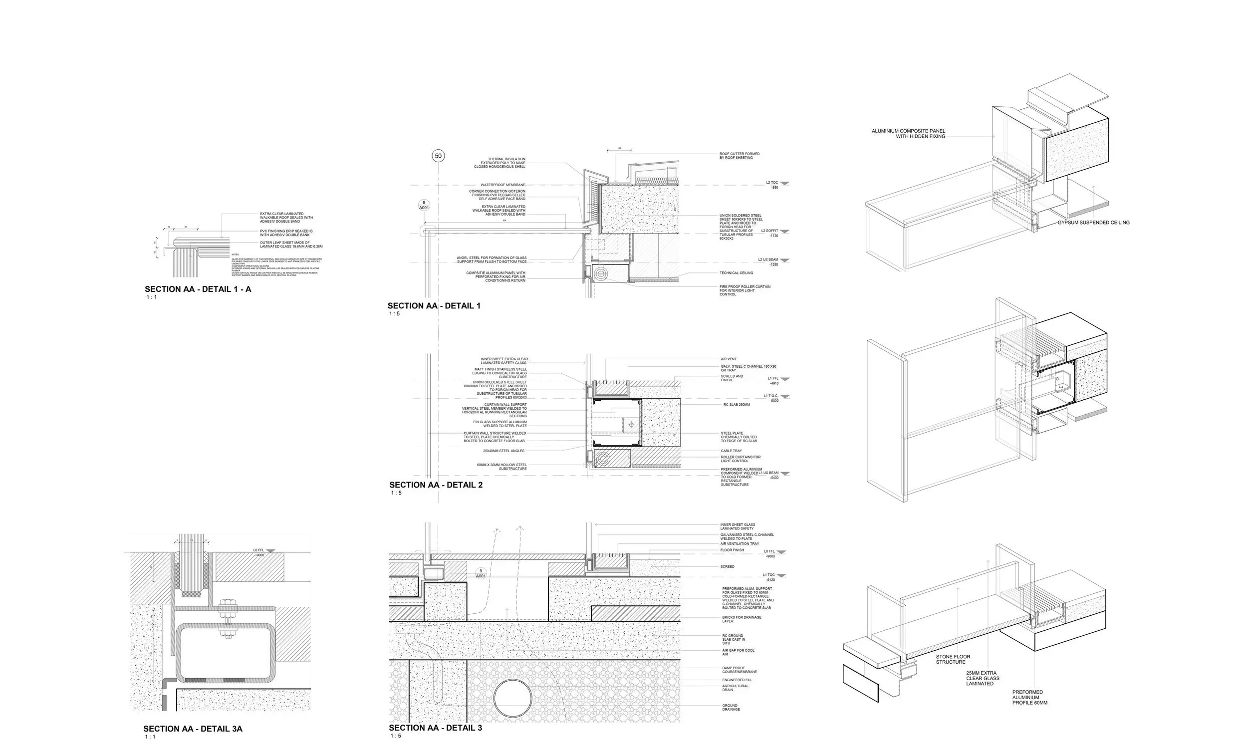
Technical Detailing